|
Cotswold Way |
We took our time over our self-service breakfast as we only had a fairly short day’s walk ahead and we were making the most of our last holiday morning!
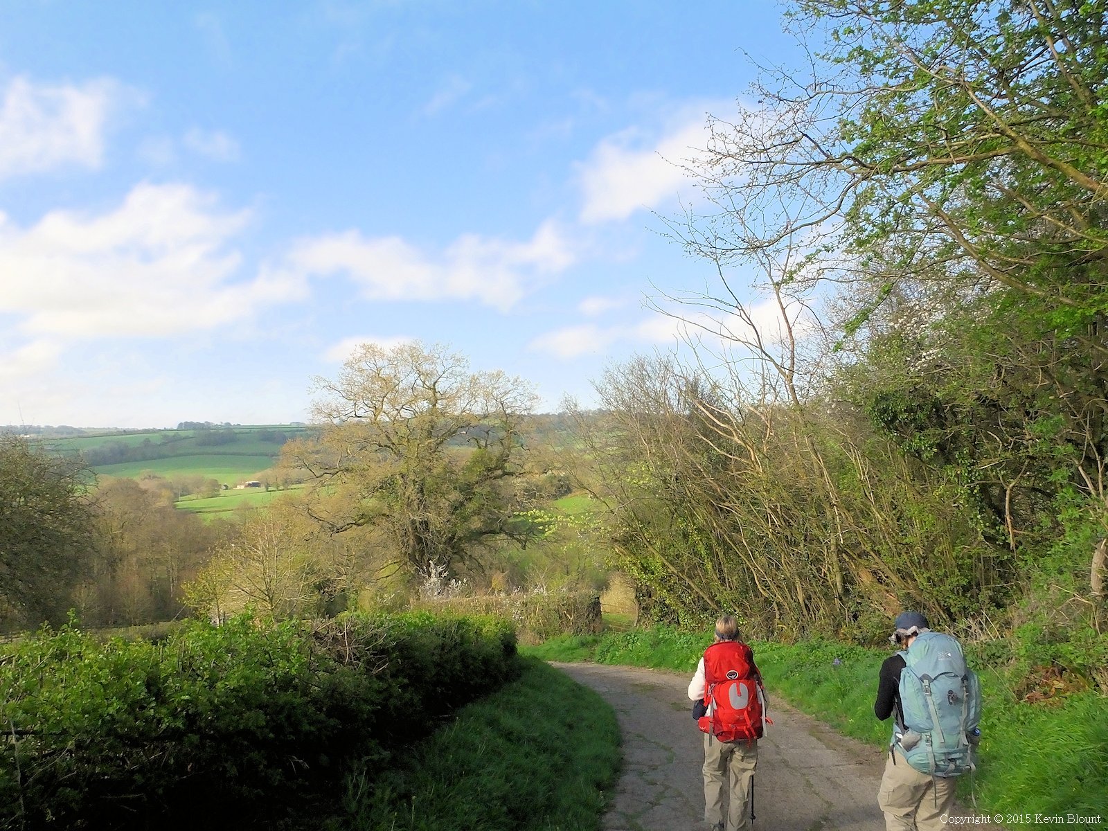
Setting out on the last morning with the usual mixed feelings; pleased that we’ve nearly completed the walk but sad that the holiday’s nearly over!
For the second time in the walk the day actually started with a downhill section so we were eased back into it nice and gently! The tarmac ended shortly after Hill Farm and continued as a footpath down across fields then climbed back uphill a bit to join another lane.
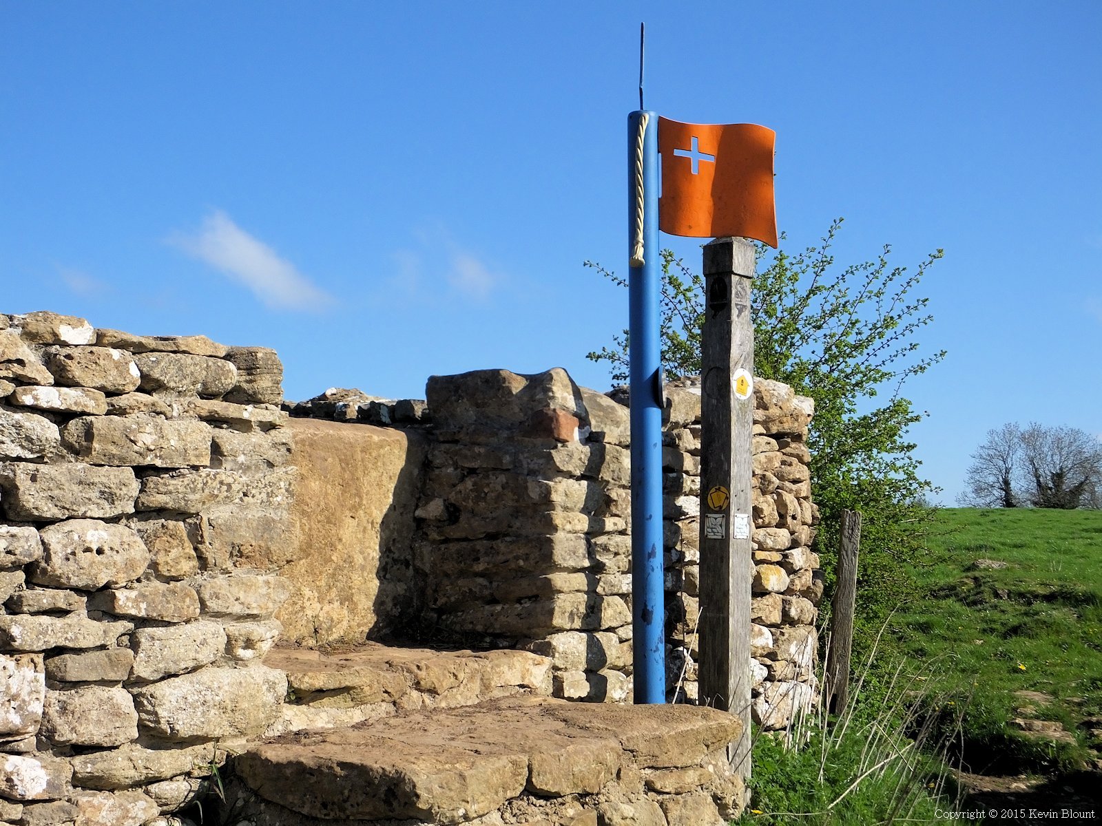
Not just another field, this one’s a Civil War battlefield
We passed though a series of fields where the English Civil War Battle of Lansdown was fought in 1643. There are lots of information panels and special signposts with metal flags and swords attached describing what happened where.
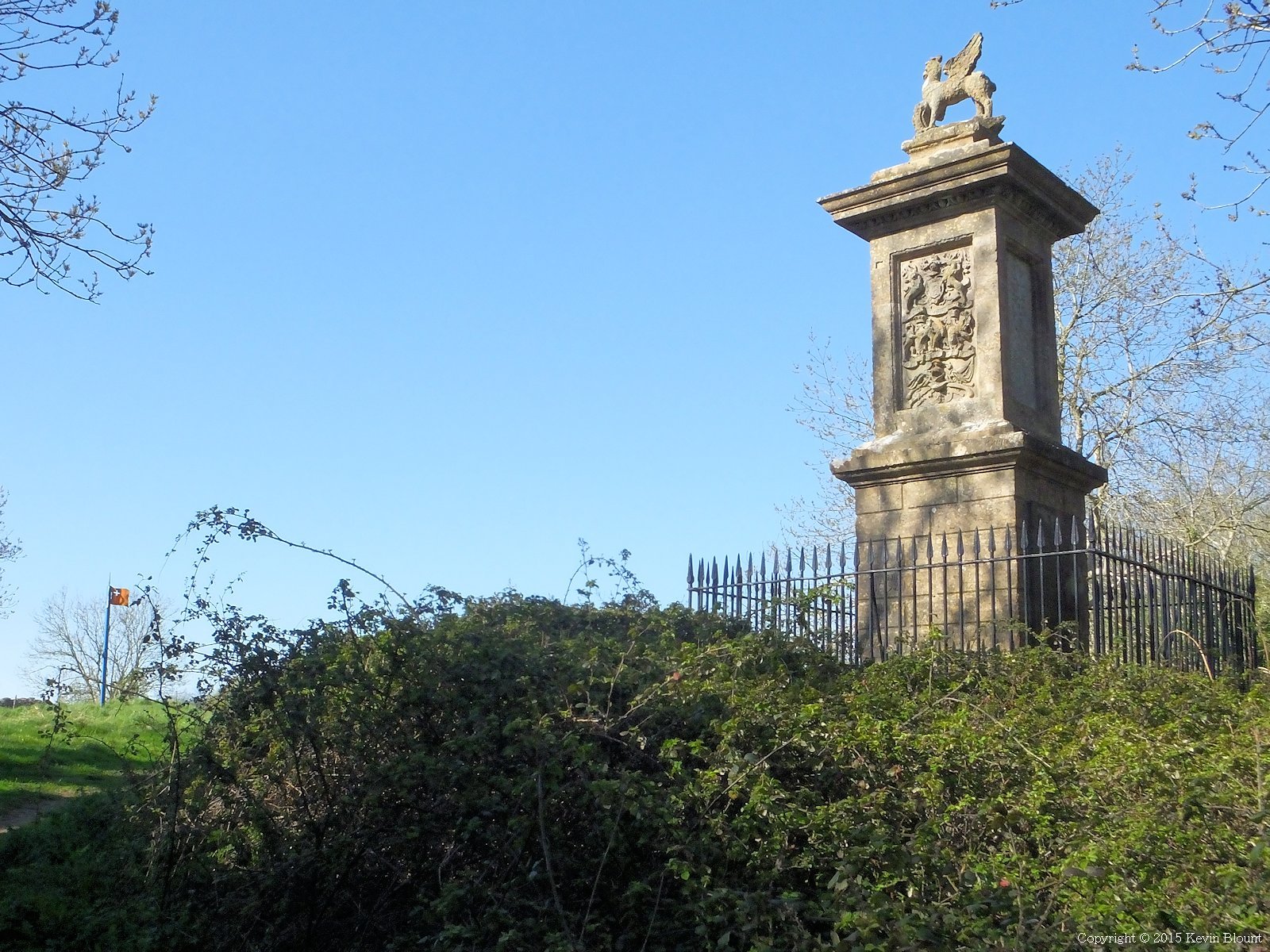
The oldest British War memorial
There’s also a monument to Sir Bevill Grenville, a Royalist commander who died there. An info panel says it was erected in 1720 and is therefore the oldest war memorial in Britain.
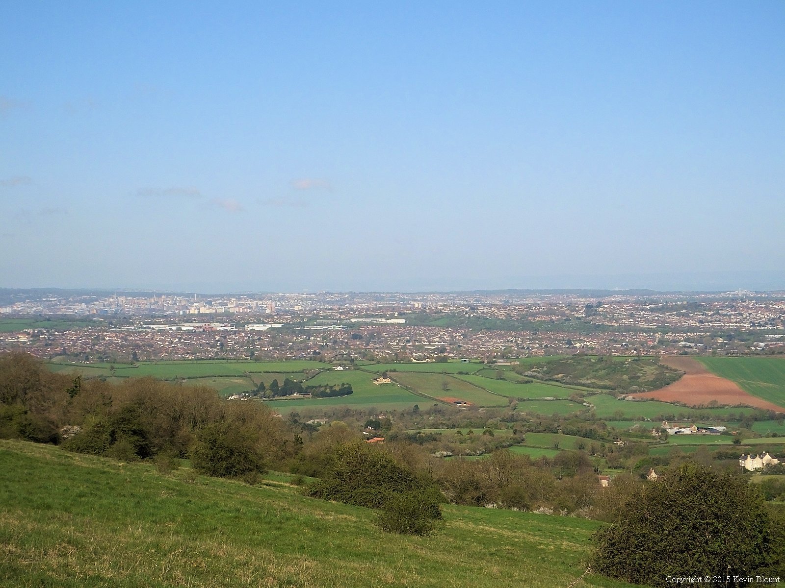
Almost the last of the panoramic views, this one over Bristol
After the battlefields on the hill tops the wide panoramic views returned, this time over Bristol…
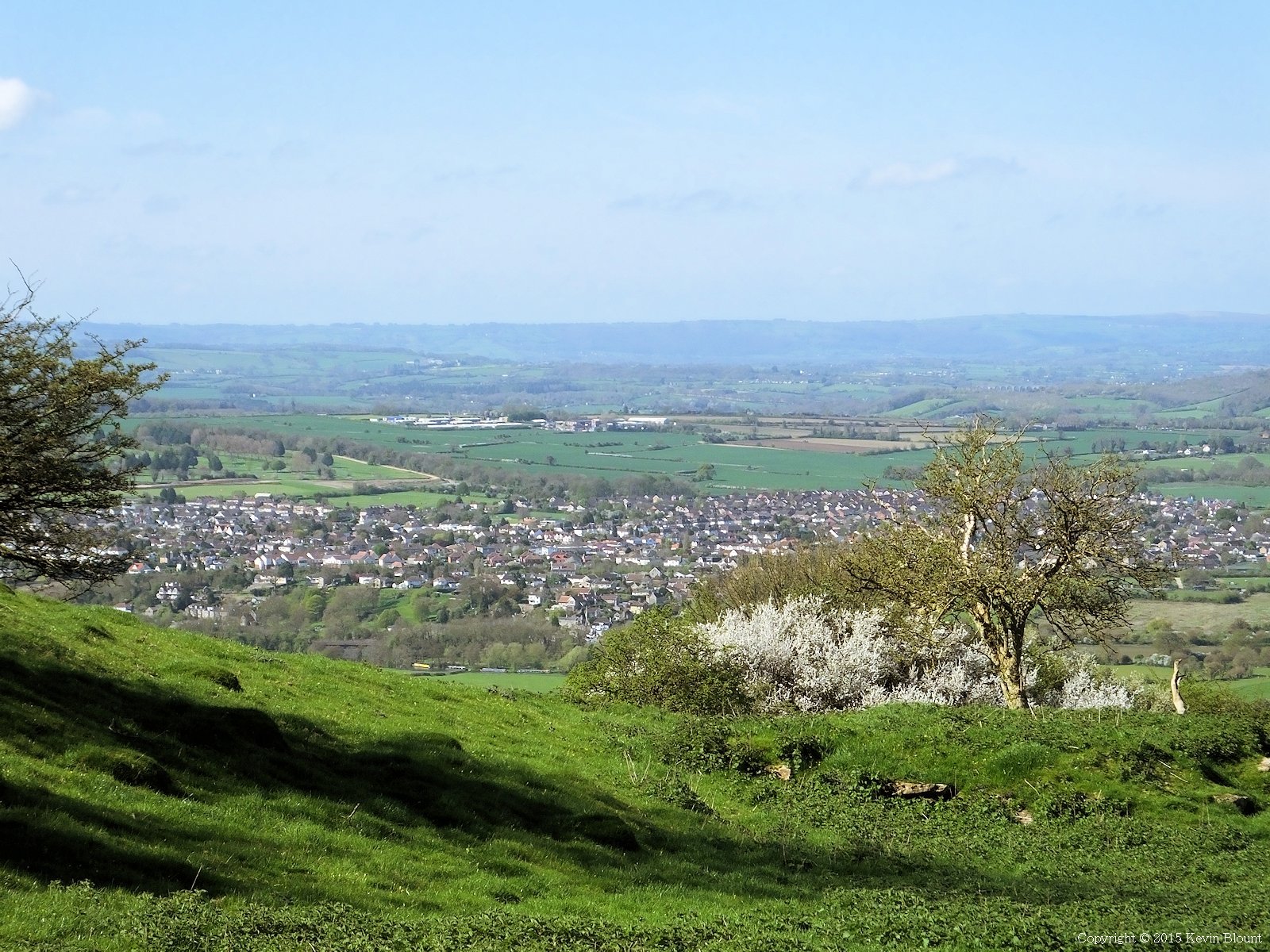
Finally Bath is in sight, or at least the suburbs are
… and then a little further on as the path turned a corner at another fort, over the outskirts of Bath.
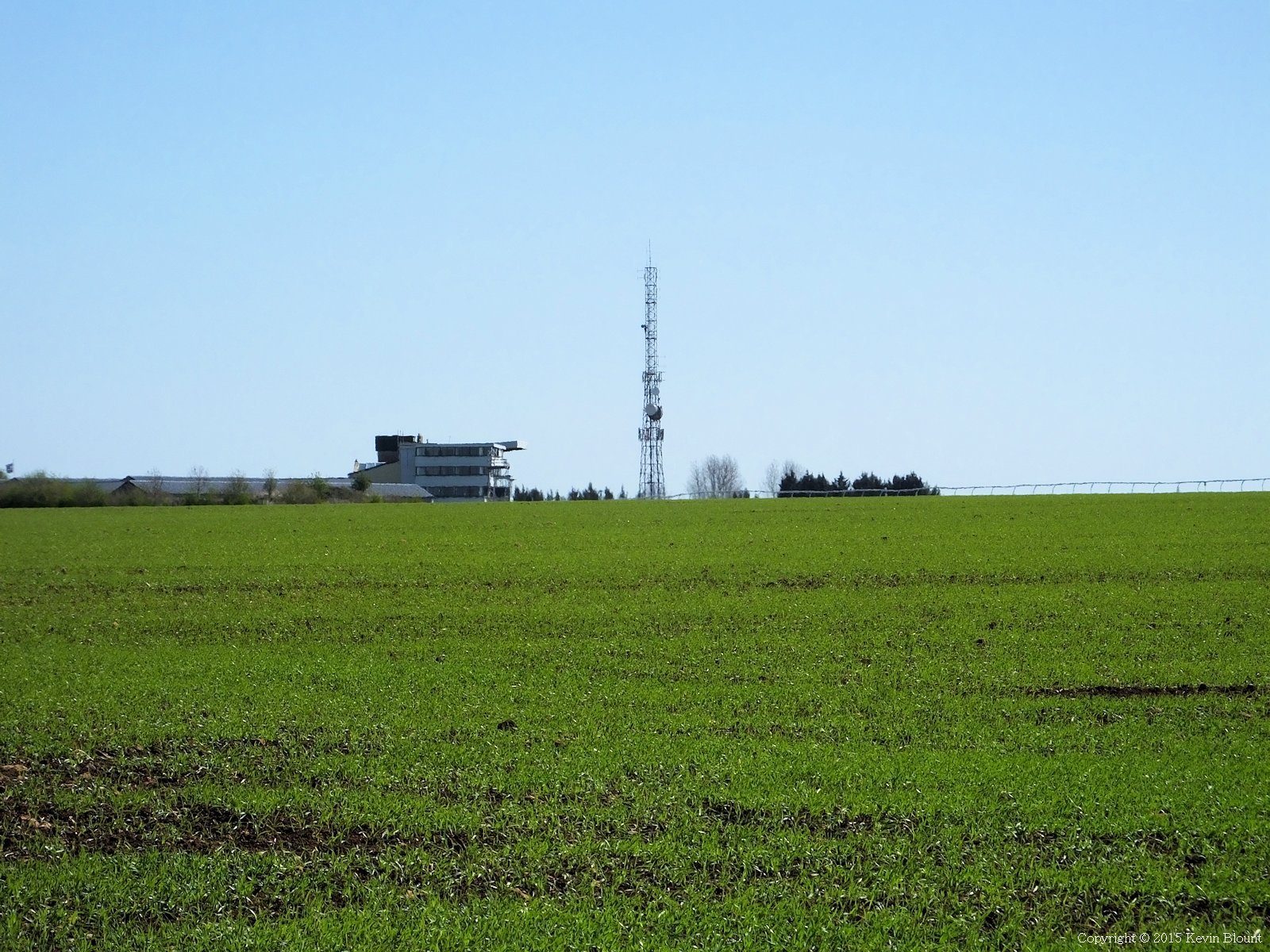
There’s a racecourse on the hilltop high above the city
The route maintained the high ground for a short distance past Bath Race Course then descended quite steeply via paths and lanes to rejoin civilisation in Weston, actually a north western suburb of Bath. It didn’t really feel much like we were near the end at this point as there were still no signs of the famous Bath architecture there.
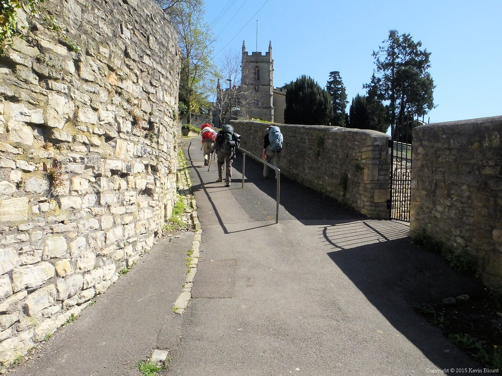
Weston is a suburb of Bath with some very steep (and unwelcome!) hills
We continued for another mile or so through residential streets and alley-ways, some of them depressingly steep climbs at a time we thought we should be heading downhill into the city!
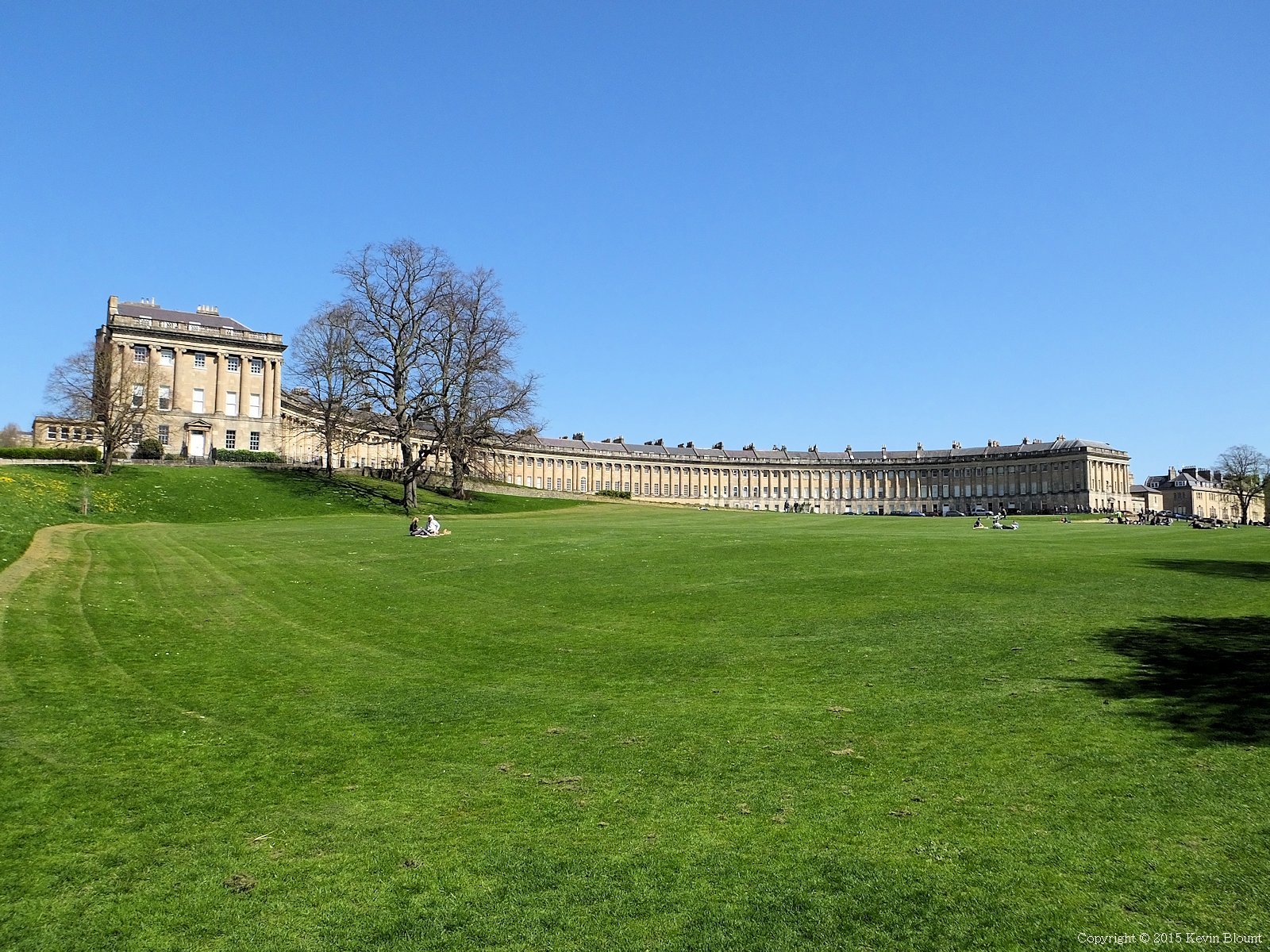
At last the part of Bath that everyone recognises, starting with The Royal Crescent
Finally though it was all downwards across the High Common and its golf course into Victoria Park with the long awaited views of the Royal Crescent.
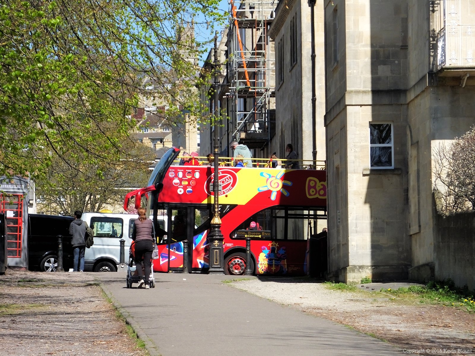
Definitely getting into the real city now!
This was much more the sort of thing we’d had in our minds for the last 8 days – the touristy views of the city, complete with lots of people and open top buses and cars parked everywhere!
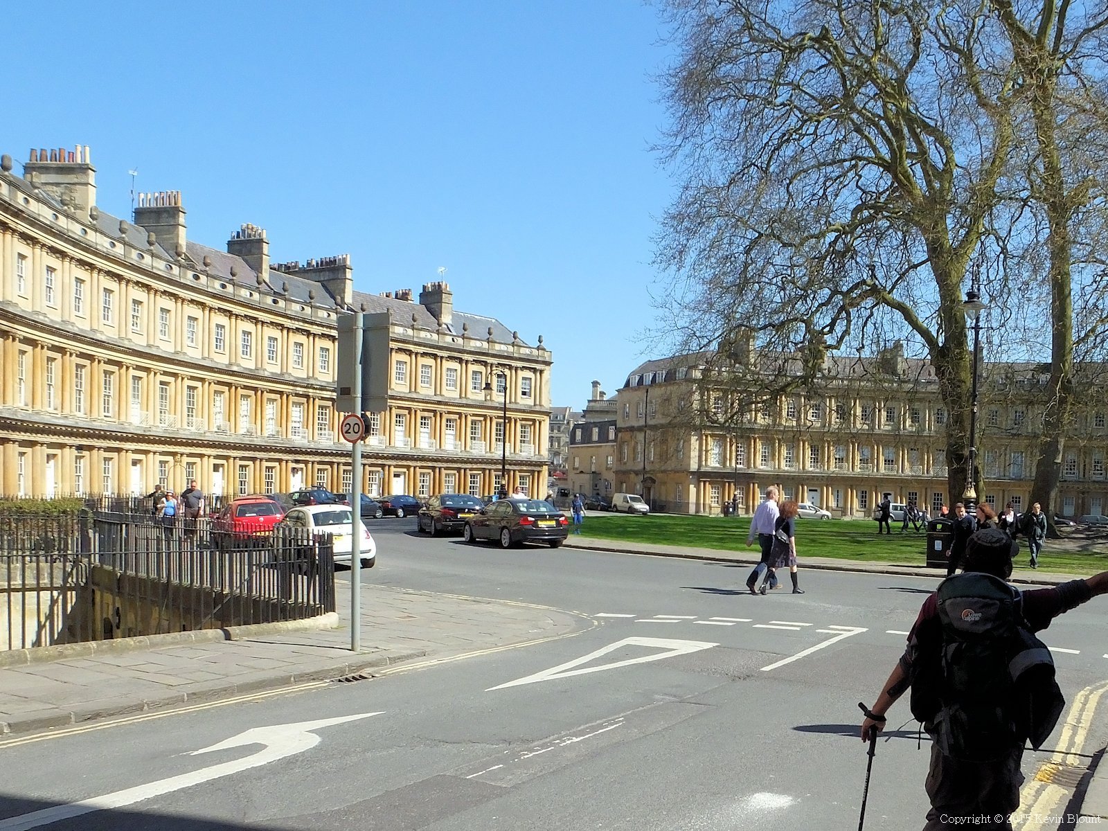
Another very famous view – The Circus
We walked on through The Circus past the Guidhall and finally …
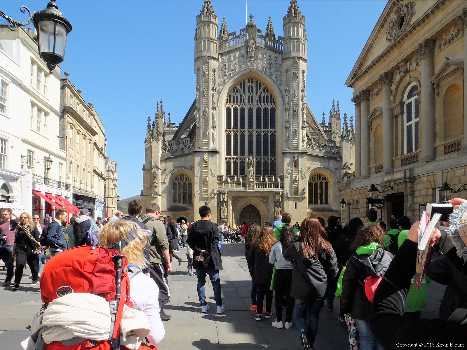
And finally, the Abbey. The official end of the Cotswold Way
… to the Abbey and the circular stone in the ground marking the end of the route.
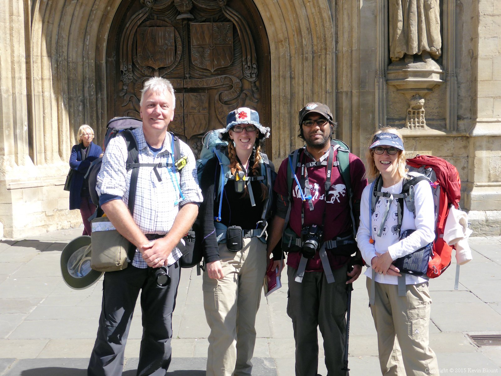
The proof – all present and still standing!
We asked a friendly looking lady to take our photo then went off in search of food. The Pret A Manger round the corner was the first place we found with a wide enough gangway to admit our big rucksacks without causing chaos. Then it was back to the Abbey to sit on the benches and eat and people-watch and enjoy the smug satisfaction of having just completed a hundred mile walk.
I’d phoned the taxi company when we first arrived in the main part of the city and arranged to head for the outskirts after an hour and a half and then update them with an address or postcode where they could pick us up. The plan worked perfectly and the car duly arrived less than 15 minutes after I’d phoned again. It was very nice being driven back to the start in the comfy Mercedes estate car, spotting places we’d walked through on the way. The driver had lived in Chipping Campden all his life as a farmer but had recently sold up and retired to run his taxi business so knew all about the region and made an interesting guide. A couple of hours after leaving Bath we were heading for home in our own car – definitely one of the easiest return journeys we’d ever had from the end of a trail.