|
Pennine Way – Monday 30/4/2012 – 12 miles |
The forecast for this day was more wet and blustery stuff but it dawned fair with barely a breeze. A lot of low cloud and some pockets of mist were drifting around the high slopes that surround Hawes but there were also some huge patches of blue sky above and no imminent threat of any rain. So we packed up and struck camp feeling pretty good and set off back through the village to get provisions for the day before rejoining the route. It was another fairly uncomplicated route to Keld, most of it taken up with a long and relatively gentle ascent and descent of Great Shunner Fell, the highest ground covered so far.
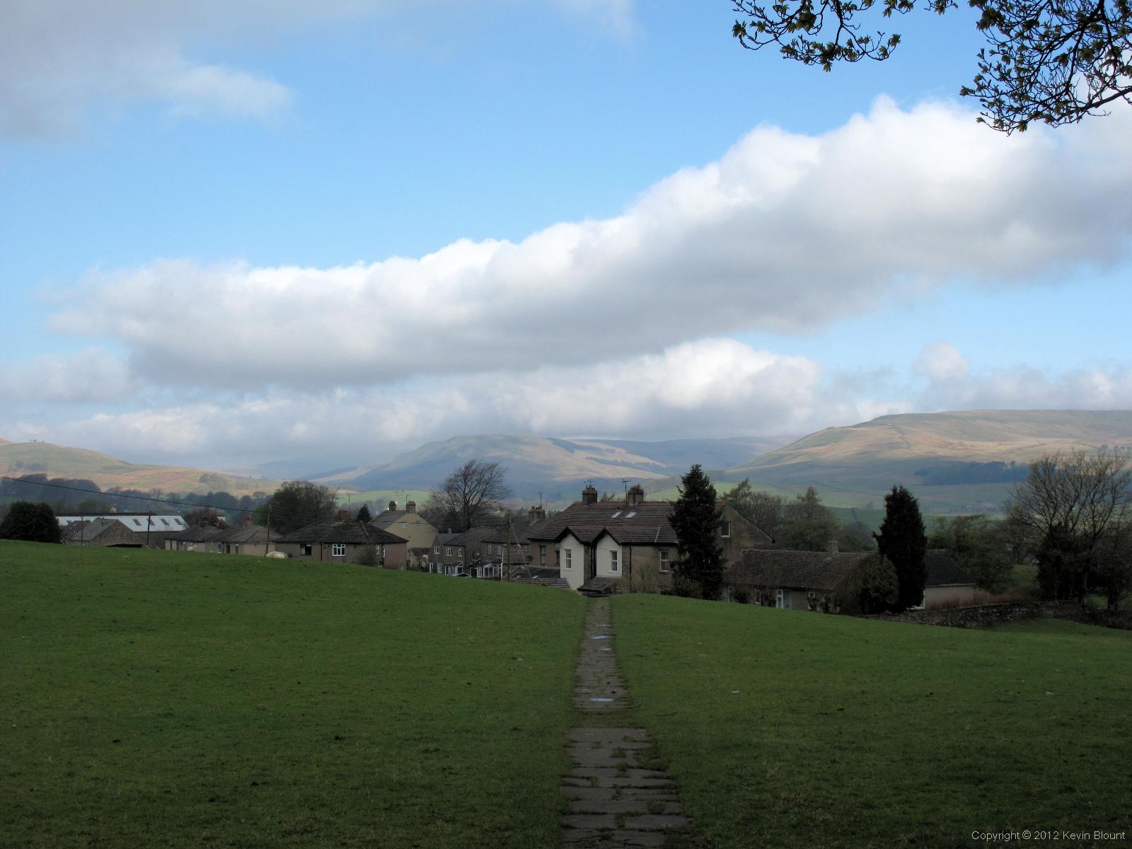
A damp morning after the previous day of rain but it looked promising
The way out of Hawes followed a winding residential road that quickly changed to a winding country lane as the last few houses were left behind. We crossed three bridges, one with an aerial view of a slightly green and mossy looking black steam loco and carriages alongside a station platform at the Yorkshire Dales Museum and two over the Ure, a picturesque stretch of river that snakes across the flat valley bottom. Just before reaching the upwards slope on the far side of the valley the route took a left turn across some fields full of sheep and lambs and headed cross country to Hardraw, the tiny hamlet famous for the nearby waterfall, Hardraw Force, which is the highest single drop fall in the country. Unfortunately there’s a pub built on the path that leads up to it and you have to pay to get through to go and see it. Even though we were sure it would just be a small fee we didn’t really feel the need to pay to see additional scenery at the time and didn’t particularly want to interrupt our walk anyway so we kept going.
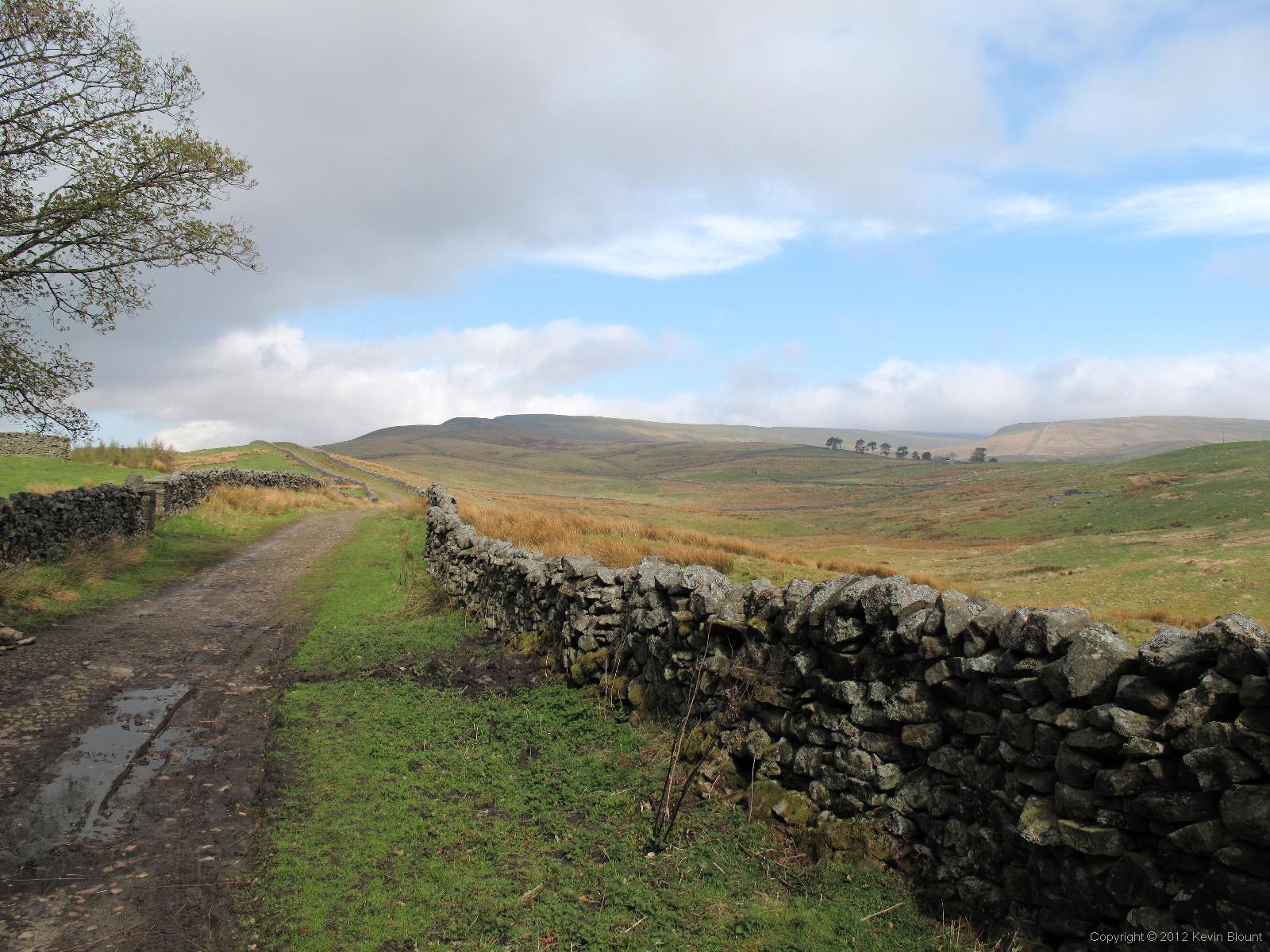
A gentle climb out of Hardraw on the way to Great Shunner Fell
The route took a right turn on to a road at the end of the houses and continued uphill, turning into a track then just a trodden path across the peat moorland. As usual the wind got stronger and stronger as we gained altitude and before long we were once again looking for a bit of shelter where we could stop and eat our breakfast bars. It came in the form of a large pile of stones that looked like a delivery for dry stone walling although it was hard to imagine lorries getting up there to drop that huge a load off. It was just high enough to break the wind and save us cooling down too much while we nestled down among the rocks on the leeward side and quickly ate our rations.

A cloudy but lovely day with great views from the high ground
There were quite a lot of clouds moving our way at a fair speed so we didn’t linger and were soon plodding steadily upwards on the path again. We saw fairly frequent signs announcing that we were entering High Abbotside moorland re-generation and black grouse recovery project, mostly concerned with reseeding. There weren’t any obvious signs that things were happening – hopefully that meant that they’d already happened to a large extent as there weren’t many bare peat areas.
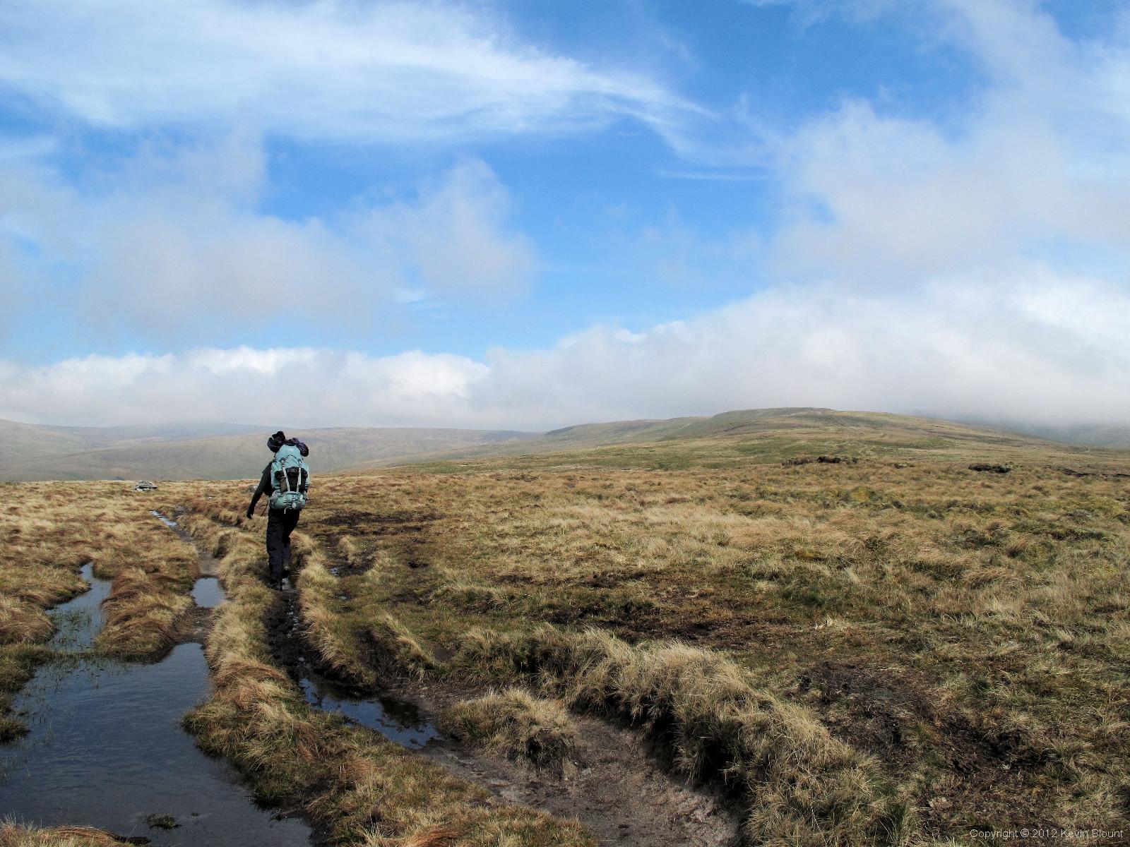
I suppose we were due for some boggy ground but it wasn’t too bad. Our main concern was the cloud around the summit ahead
Many of the boggiest parts had slabs although a fair few had sunk beneath the water thanks to the recent excessive rain. As the summit of Great Shunner Fell loomed ahead and above us large banks of cloud began to drift across it, sometimes completely obscuring it then within minutes leaving it entirely clear.
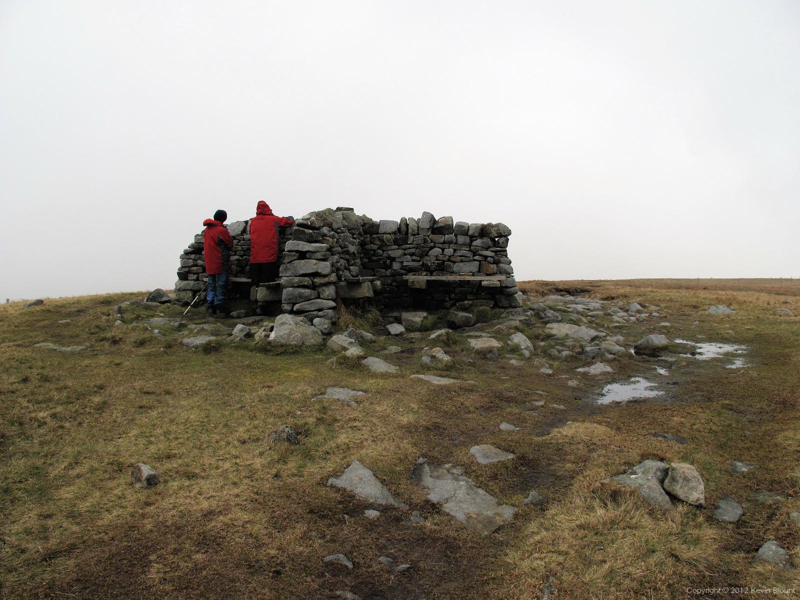
The summit was completely in cloud so we didn’t see the legendary views.
Of course, when we finally got there it had been in cloud for a good ten minutes and there was no sign of any approaching bright patches. We passed the cross shaped windbreak at the top without bothering to leave the path – there was no point as there was absolutely no view to be seen.
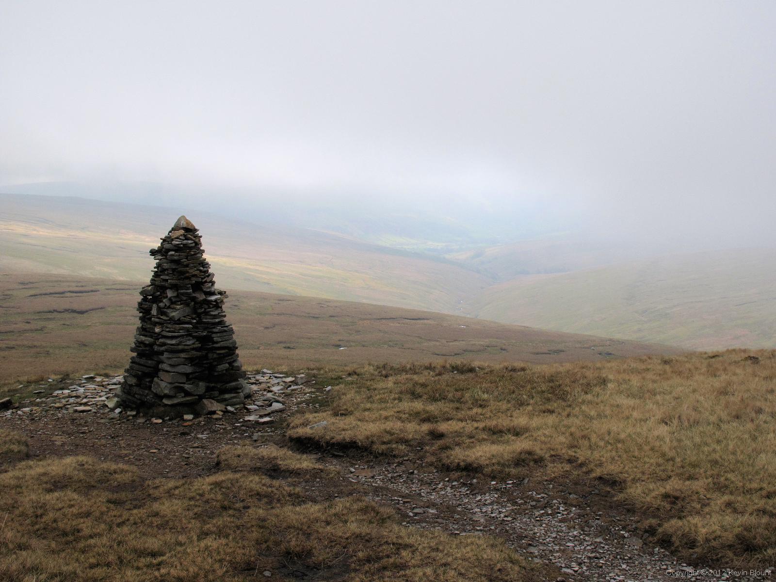
A nicely built cairn marks the way down.
No surprise either that visibility improved rapidly as we descended the steep slope after the summit but looking back the peak was still in cloud so we felt we’d done right to keep going. The way down was surprisingly simple and quite quick.
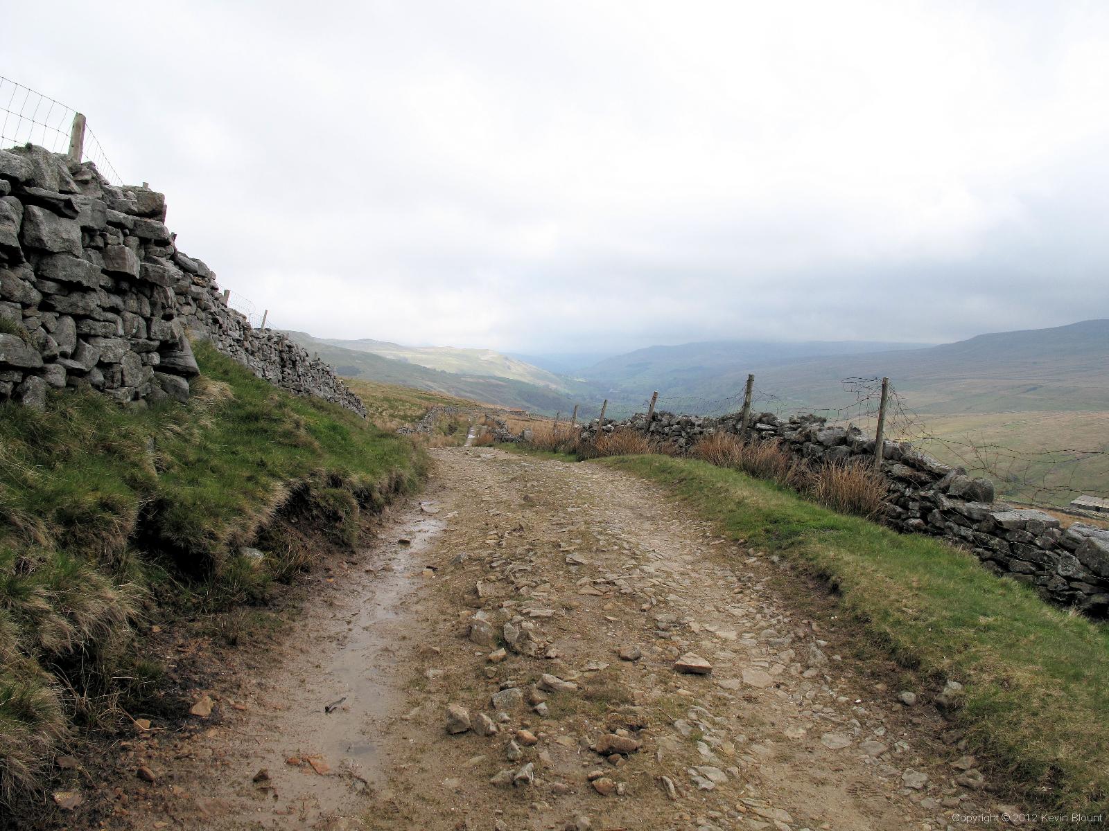
This track goes all the way down to Thwaite
After a couple of miles the path joined the end of a lane which although surfaced with quite rough hardcore was sound and dry and walled both sides so made for an easy walk.
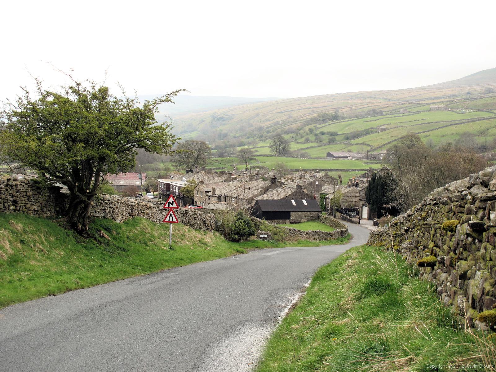
Arrival at Thwaite signalled the end of the main part of the day’s walk and time for lunch
We stopped for lunch at Thwaite as there was a convenient bench at the bus stop in the centre of the village. There is also the Kearton Country Hotel & Tearooms right there as well which would have been nice to visit but we hadn’t particularly expected it to be open on an out of season Monday so we ate the sandwiches we’d bought in Hawes that morning.
Keld is only a couple of miles north along an easy road from Thwaite but of course we were on the Pennine Way, not an easy road walk! Our route headed east out of the village on a footpath across fields then climbed another 3-400ft up a steep hill and contoured round the east side of it, heading north with lofty views over the lovely steep sided Swaledale.
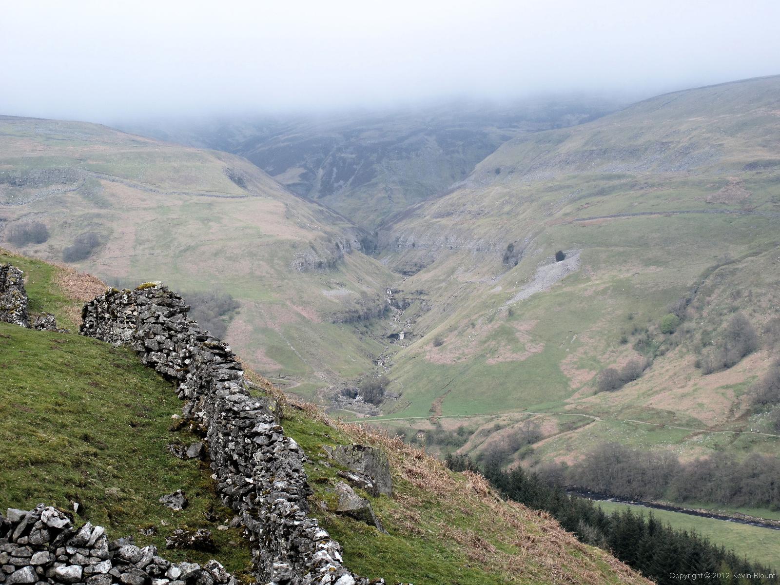
Back on the high ground above Swaledale. That’s Swinner Gill across the other side of the valley
The river sparkled way below us and the craggy hillsides opposite rose majestically, their tops concealed in the same layer of light grey cloud that had formed our ceiling since leaving the summit of Great Shunner Fell. The path on our side was boulder strewn for much of the distance thanks to what looked like a supply of perfect dry stone walling material crumbling away from the cliffs above but it was also quite heavily populated with wild primroses.
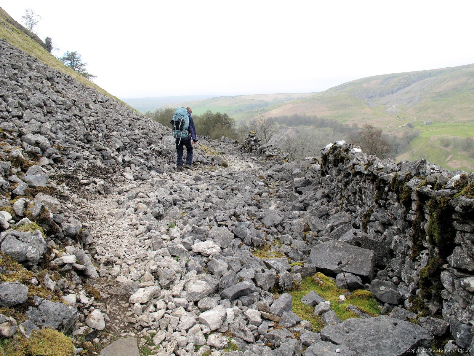
Nature may have demolished this wall but at least it delivered the stone for repairs at the same time!
In fact there was a wall quite obviously built of the fallen stone alongside the path for quite a distance but ironically the frequent rock falls from above appear to have demolished a large amount of it! The walking is quite awkward in places due to all the rocks and the sideways slope of the path but eventually, after the dramatic clough of Swinner Gill opposite, it swings westwards past the woods below the ruins of the wonderfully named Crackpot Hall and descends to the river by the village of Keld.
It’s a tiny village and Rukin’s campsite was very easy to find thanks to the signs that guide you in from the footpath. The reception is also a shop with picnic tables outside, which we sat at while we ate the ice lollies that we couldn’t resist buying as we checked in. There are two levels to the campsite as it’s on a steep hillside that plunges down to the river.

Rukin’s campsite is set in idyllic scenery. Chilly though!
We pitched on the first level halfway down the hill, partly to avoid the possible midges on the lower level near the water and partly to be a bit closer to the facilities. As usual, once set up we went to get showered and changed and were delighted that the rather uninviting appearance of the corrugated steel buildings was completely misleading – the showers were easily the best of the whole walk! They are actually quite large wet rooms with enough space and bits of furniture to keep all clothes and possessions dry and the showers had enough water pressure to leave us feeling really clean and refreshed. Wonderful!
We ate at the Keld Lodge just up the road beyond the edge of the village. It was once a hostel but is now a hotel and restaurant and although it appeared a bit upmarket for a couple of rather scruffy walkers with dirty boots it does specifically cater for walkers and we were made perfectly welcome. We enjoyed very nice meals and a couple of drinks and returned to our tents nicely relaxed and I remember feeling very happy with the way the walk was going. Despite still having rather sore heels from the blisters I was finally beginning to feel confident about seeing it through to the end.