|
Cotswold Way |
The half mile stroll from Chipping Campden Taxis (with whom we’d left our car for the week) to the start in the centre of Chipping Campden was just right as a leg stretcher after the drive down from Derby. We’d allowed time for a bit of a look round before the grand launch, but it didn’t actually take us very long as we didn’t want to risk trashing the insides of any of the tiny gift shops with our bulky rucksacks and we were quite keen to get going anyway!
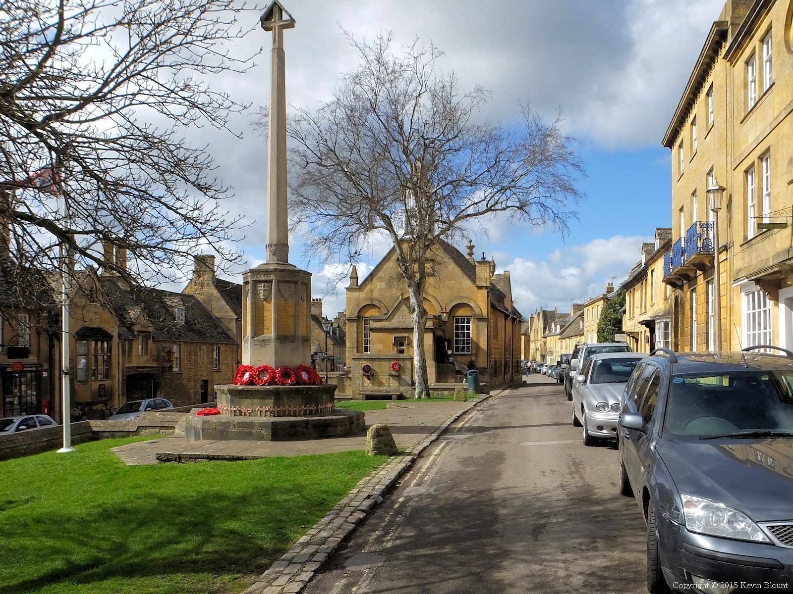
Chipping Campden’s honey coloured main street
I’d already had a virtual look up and down the main street on Google Streetview so knew exactly where to find the stone markerpost on the front corner of the Village Hall. A brief period of confusion (for me at least) ensued due to the post having been moved along the road a bit in 2014 to be next to a new stone plaque set in the pavement adjacent to the old Market Hall.
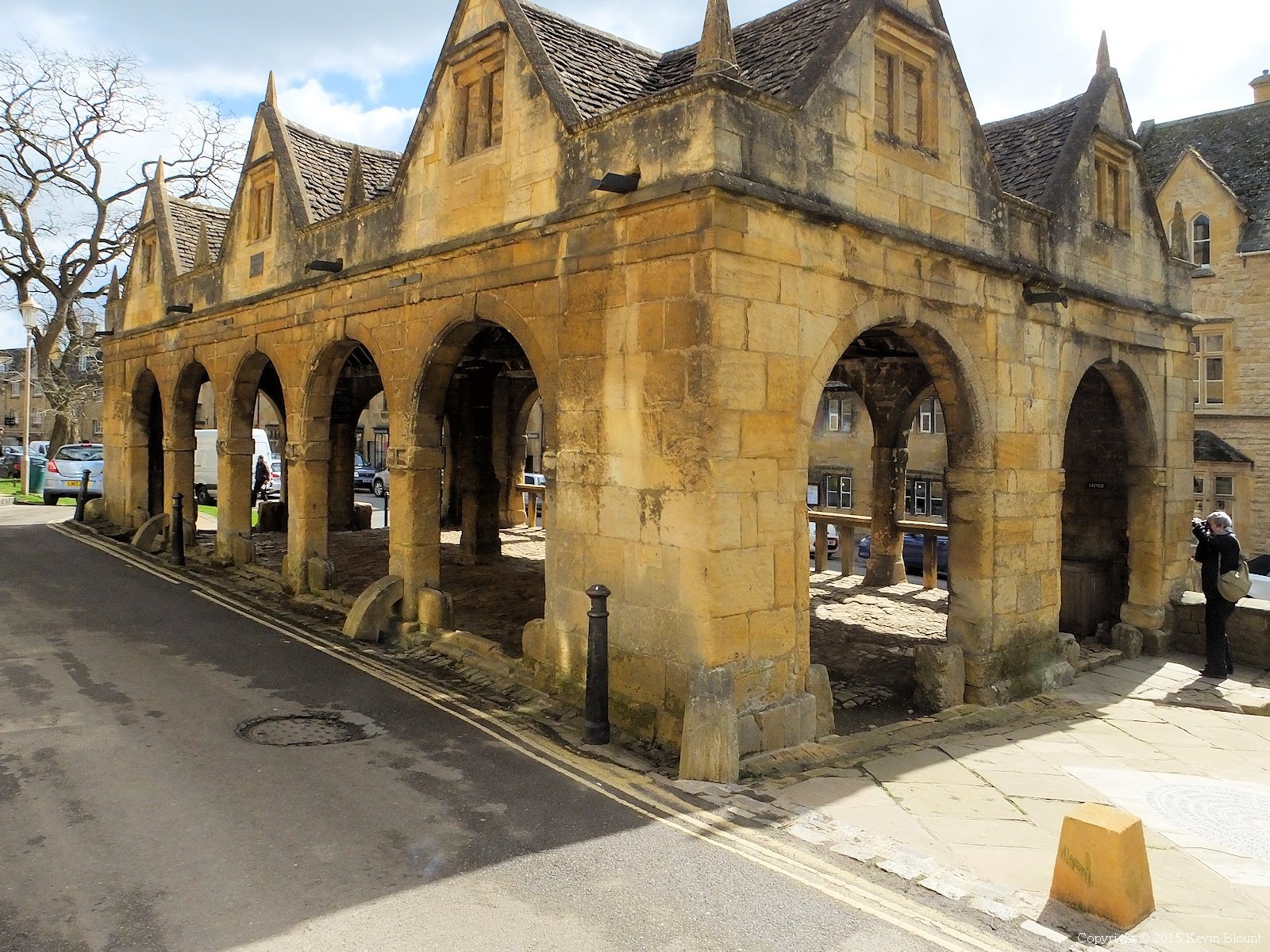
The old Market Hall
It’s actually in a much better place now with space for people to pose for photos without having to squeeze in next to parked cars or stand in the road. The new circular plaque is nice too – it matches the one at the opposite end of the walk outside Bath Abbey.

Luckily walking turned out to be easier than posing for a photo
We asked a passing lady tourist if she’d mind taking a snap of our historic moment for us – shame we didn’t arrange ourselves rather more neatly but never mind! With that done, and after a quick check that everybody was ready, we set off.
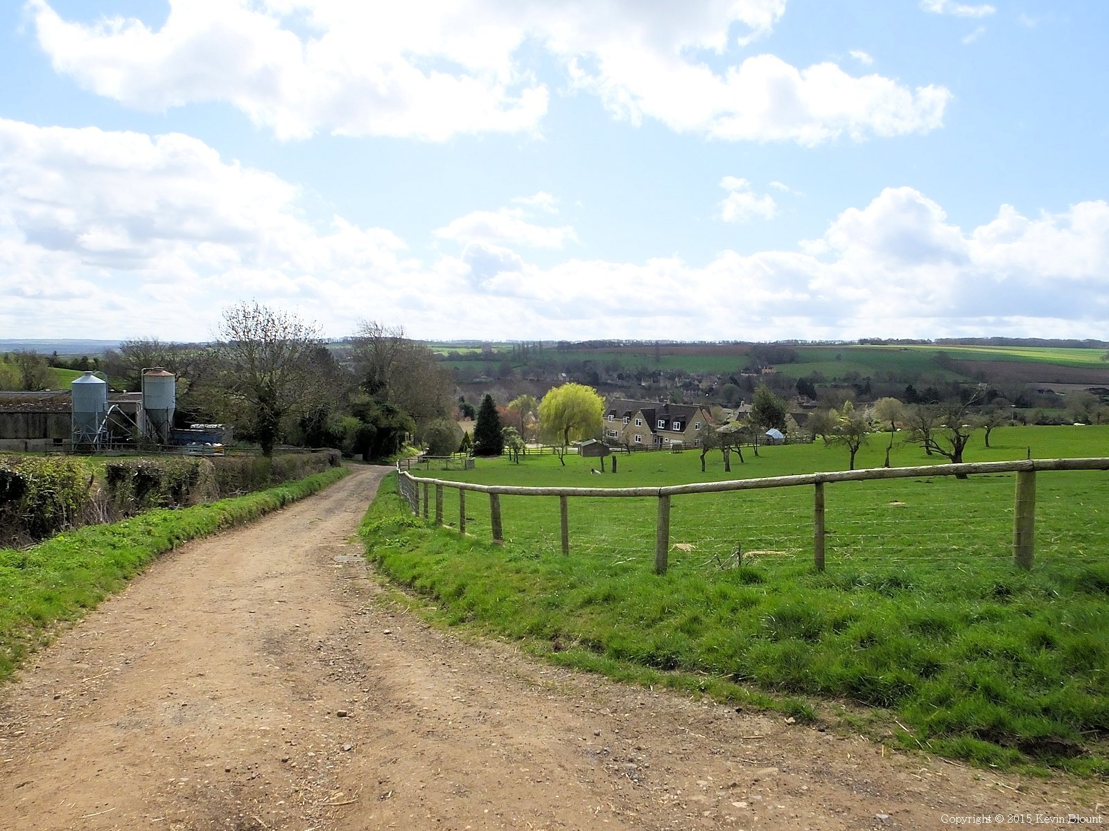
Less than half a mile from the start and already up a hill with widening views
A short walk along the main street then up a side road by the church soon had us climbing steeply past the last of the houses and up a lane though farmland. We took it in turns to call a stop for the usual adjustments of rucksack straps and clothing and retying of bootlaces that herald the start of most long walks, but by the time we reached the top of the hill we’d just about sorted ourselves out.

This topograph on Dover’s Hill was the first of many we’d encounter on the way
The views back over Chipping Campden as we climbed away from it had been very pretty but Dover’s Hill gave us our first taste of the views from the top of the escarpment. We’d be following the higher ground for much of the next few days and massive vistas to distant horizons over relatively flat lowlands would almost become the norm. We took a breather at the topograph and soaked up the sights and the sunshine.

The Mile Drive was a nice easy stretch to help us settle into walking
From there The Mile Drive – a broad, almost straight and level green lane took us to Fish Hill picnic area. Although less than 4 miles into the walk it was already early afternoon and some time since we’d eaten breakfast back at home so we sat at one of the several picnic tables and ate our packed lunches. It left just under 7 miles to the day’s destination so it had worked out quite nicely.

First sighting of the Broadway Tower ahead
Half a mile onwards up Broadway Hill the Broadway Tower suddenly appears ahead on the horizon, and the path takes a sharp right over the brow of the hill right next to it. There’s a high wire fence around its grounds but it has a gate if you want to visit.

It can be seen for miles around but close up there’s not really very much to it!
It’s a folly of course but very impressive and for an entrance fee you can go inside and climb it for even bigger views.

The view over Broadway and beyond. In fact a very long way beyond!
It’s a long easy slope down to Broadway village with the tower slightly masked by trees but still visible behind for most of the way. A bi-plane was performing loops overhead in the huge blue sky for a while, adding an occasional white smoke trail for show. Nice of the locals to arrange a welcoming display for us on our first day!

How could anyone resist an ice cream when it’s sold like this?
The village looked lovely in the perfect spring weather. There was even a fancy ice cream seller on the pavement near the famous 16th century Lygon Arms Hotel so of course we treated ourselves – delicious!

The picturesque war memorial and the green. The whole village was immaculately neat and tidy
The route really only skims through the southern edge of Broadway so it was a brief visit. We turned left at the end of the green after the war memorial and followed a footpath back uphill. Wide views of the tower opened up behind until at the crest of the hill we entered a wood and it was finally hidden.

Who ate all the grass?
We’d walked through many grassy fields full of sheep but one we passed had no grass at all, only a liberal scattering of turnips. The sheer amount of rubble in the Cotswold soil was striking – very different to the pebbly or clay soils we’re more used to at home in the East Midlands.

All downhill from here
A few fields later we began the final long descent to Stanton. We passed Shenberrow Hill which has the remains of an iron age hill fort, the first of very many that we would encounter on the route. We didn’t actually see it though to be honest – not all are particularly noticeable unless you’re really looking for them!

Mission accomplished – Stanton
A final steep downhill stretch delivered us into Stanton, our first stopover point and a perfect yellow stone Cotswold village.The Vine B&B was easy to find as it was facing us at the first T-junction we came to. It’s a big 17th century house that welcomes all-comers but is also part of a horse-riding holiday business. It’s the genuine article inside with huge oak beams and floorboards, thick walls, low ceilings and traditional furniture including four-poster beds and barely a straight line anywhere! We showered and changed our clothes then headed up the road to The Mount Inn for some excellent food and a drink or two. The place was comfortably busy for the couple of hours we were there so I expect it must be a very lively place in peak holiday season. A peaceful stroll back through the village at dusk rounded off a great first day.