|
Cotswold Way |
Day 4 | Introduction | Day 6 |
After a good night’s sleep and a decent breakfast, the return to the route along the noisy A419 didn’t seem anything like as far as it had at the end of a 16 mile walk!

At least we’d had a couple of miles warm-up before the hill climbing started again!
Once back on the route we almost immediately wandered off it again into King’s Stanley to stock up with food for lunch from the Co-op. Finally we set out for real and climbed steeply back up to the top of the escarpment to resume our tree lined walk.

A nice spot for a breather and rather more tangible archaeology than many of the ancient sites we’d passed so far
After a series of three woods the path emerged onto an open area with a car park and picnic benches at the site of Nympsfield Long Barrow. We sat at a picnic bench for a while and watched a plane slowly climbing with a glider in tow from the nearby gliding club.

Views from Frocester Hill over the M5 towards the Severn and Slimbridge
A topograph courtesy of the AA on Frocester Hill just after the long barrow provided some idea of what we could see in yet another wide panorama although the far distant horizon was rather hazy. From there we continued into another wood and then passed below another long barrow (which we didn’t see) with the delightful name of Hetty Pegler’s Tump.
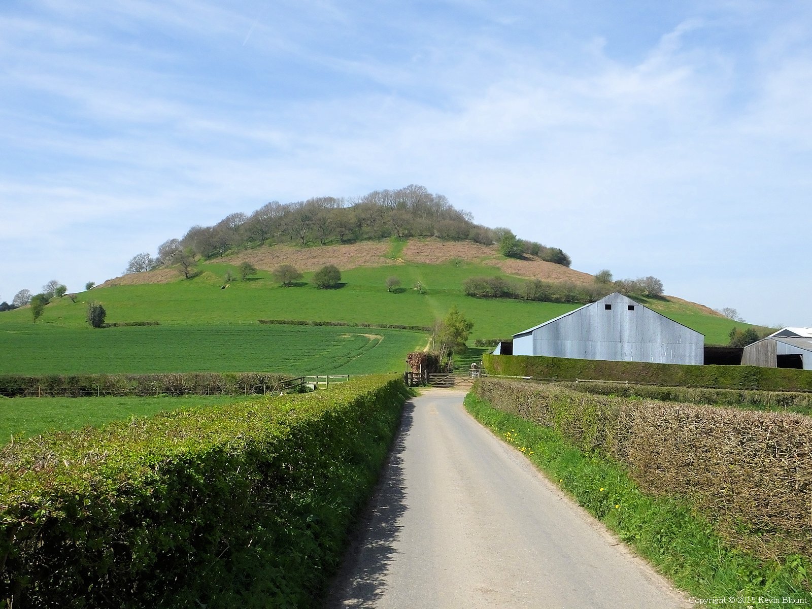
Next lung buster on the agenda, the compact but steep Cam Long Down
A descent through trees led to a short road walk past a farmhouse and a very steep climb up Cam Long Down. We were ready for some lunch by this time and decided to find somewhere to sit on top among the trees that would provide long views and some shade from the surprisingly strong sun.

Damn fine views from the top but the surprisingly strong sunshine was even warmer up there
There certainly were great views in every direction but strangely no shady places to sit – all the trees were surrounded by dense undergrowth and nettles and the only smooth areas of grass were in full sun. In the end we stopped on the way down and sat on the edge of the path where it ran between some large hawthorn bushes. Not perfect but good enough!
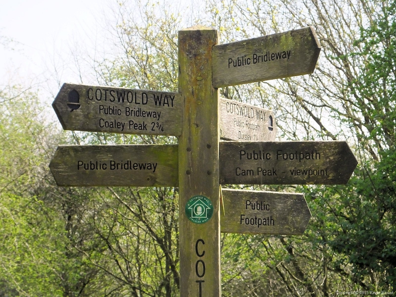
Certainly can’t complain about the footpath way marking round here!
Once down off the hill it should have been footpaths across fields all the way to Dursley but there was a diversion round some erosion repairs. At least proper signs had been placed at the appropriate points so there was no confusion. Dursley seems to be a rather elongated town with the main residential part towards the northern end but the shopping centre squeezed between steep hills at the southern end where we crossed it.
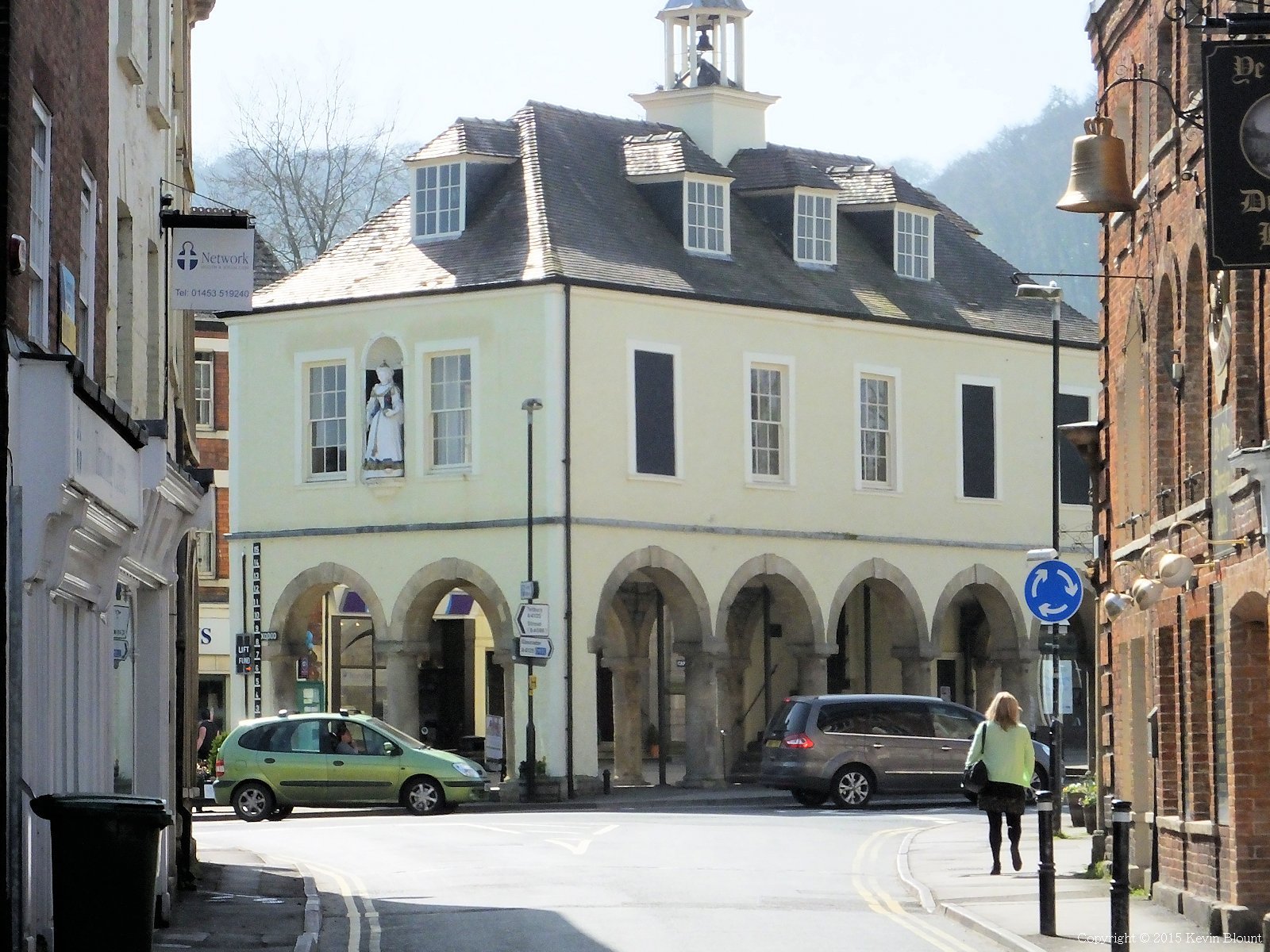
Dursley Market Hall
There’s an old style market hall on legs and a scattering of old buildings but it’s definitely a lived-in, working town rather than one of the honey coloured Cotswold show pieces. There’s a decent range of shops which was a bit of a shame as we didn’t really need anything at that time as we’d be passing through Wotton before midday the next day. The path out of the town was up a 1 in 5 (20%) road followed by an even steeper footpath up through a wood to the golf course on the top of Stinchcombe Hill.

On Stinchcombe Hill we took the optional lap of the golf course but were rather underwhelmed by the experience
Once on top we had a choice of going straight ahead for a quarter of a mile and straight down the other side or taking the two and a half mile scenic route around the edge of the plateau – both are official options. We chose the latter but although there were a few good viewpoints it was mostly just more walking alongside or through trees, many of which had obviously grown to obscure the views since the route was first devised.
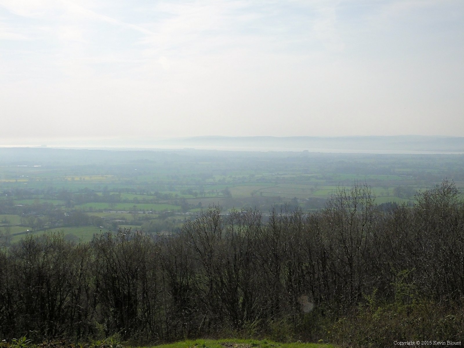
The River Severn’s getting pretty wide here on its way to the estuary and was dazzling in the late afternoon sunshine
The sun was getting lower so long distance views to the west were very hazy but the Severn shone brightly and we could just make out one of the suspension bridges.

A preview of day six’s walk – we’d got to find our hotel in the valley first
At a trig point we could see across to the William Tyndale monument on the far side of North Nibley. We’d be visiting that the following morning.

A near perfect viewpoint, just at the wrong time of day for us!
The westernmost part of the hill, Drakestone Point, has a park bench on a concrete plinth perfectly positioned to admire the vista. To be fair it was a stunning scene but after 11 miles of walking up and down hills with a steady supply of long distance views all day (and for the last 4 days too) we were approaching saturation point for landscapes and were keen to get on!
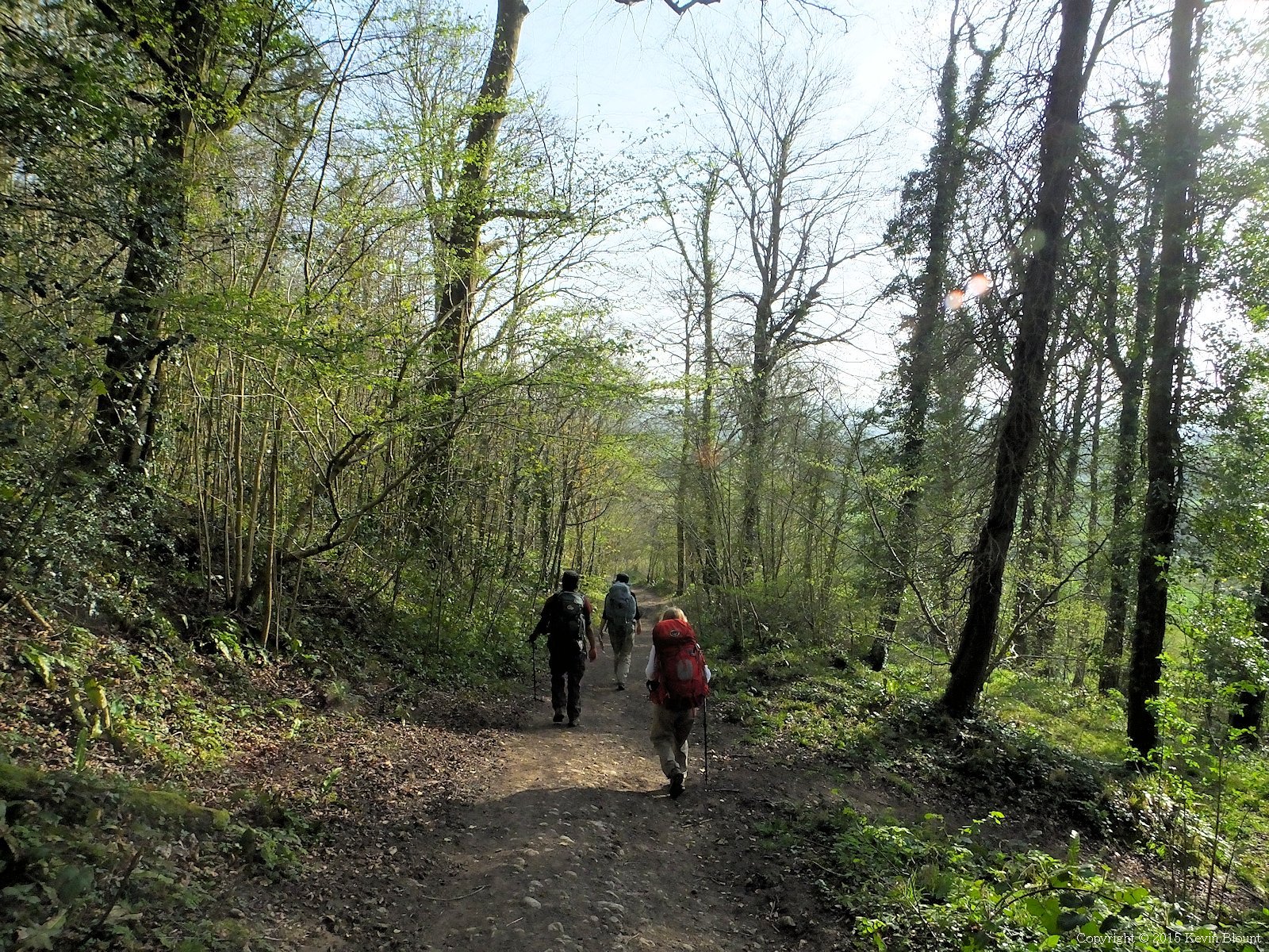
A pleasant descent on an easy woodland path …
We were pleased when the circuit was complete and we reached the other end of the quarter mile shortcut (which in retrospect is probably the better option) and headed off downhill to find North Nibley.
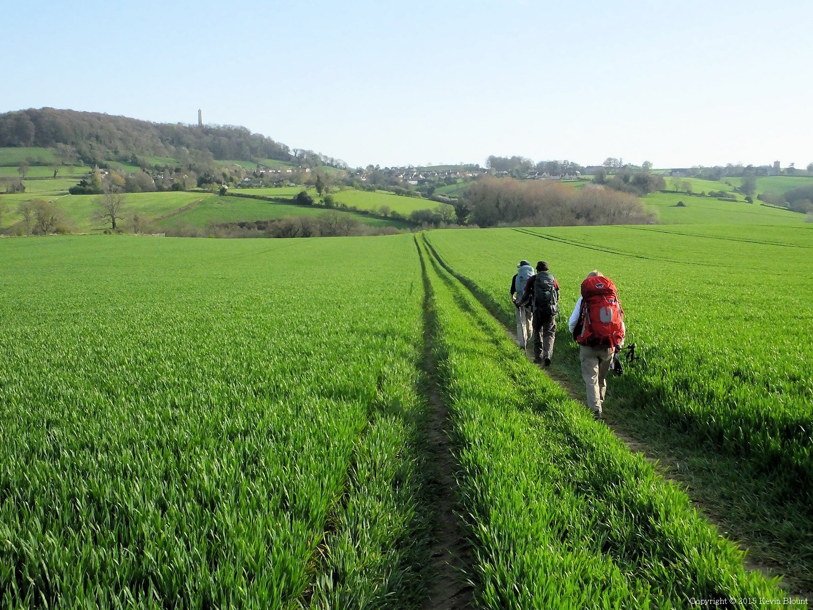
… followed by some easy field paths to the village
Thankfully the last mile and a bit of the day’s walk was pretty easy going as we were all very weary and ready to ditch the packs, get freshened up and get some food.
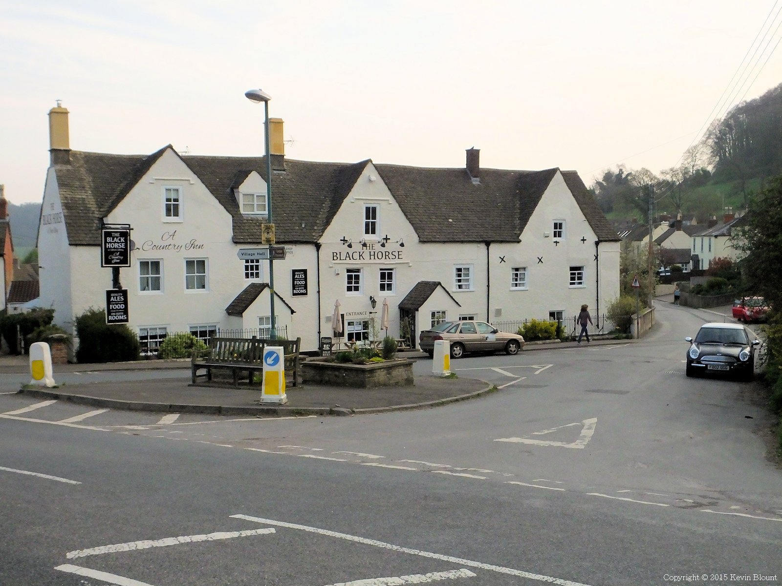
The Black Horse Country Inn. Perfect!
Our destination for the night, the Black Horse Country Inn, is positioned on a wide junction and has an attractive, inviting look about it. Although the rooms were a bit on the small side they were very comfortable, and the local beer and home cooked food were extremely good. The landlord and barman were very helpful too and made us feel really welcome – definitely recommended!
Day 4 | Introduction | Day 6