|
Pennine Way – Wednesday 2/5/2012 – 15 miles |
After an uneventful night we were up and packed fairly early. The guy in the other tent was up and about too and chatted as we got our stuff together. He was doing the Pennine Way north to south and varying the route a fair bit to allow him to get along slightly quicker than usual. He’d done the whole route before so wasn’t cheating, just skipping some of the less interesting bits. He gave us the same news that everyone else travelling south had so far – the ground was terrible up north. We didn’t bother telling him it wasn’t brilliant down the south end either! It made no difference to us anyway, we were doing the full walk so would just have to cope. As we left the village the mist that had been hanging around the perimeter of the camping field consolidated into a pretty dense fog that swirled around the lorries rumbling beneath the A66 bridge.
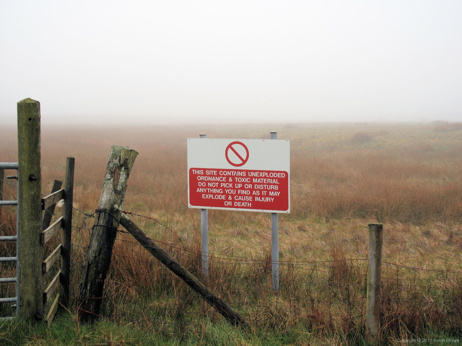
Some landowners will try anything to keep walkers out!
Beyond the dual carriageway the country road we were following passed between a series of MOD restricted areas – fields apparently littered with unexploded bombs according to the signs. Good job the resident sheep couldn’t read them. On that dank dreary morning it felt a bit like a lost world with everything silent and shrouded in drifting grey cloud, but after a while we began to hear interesting birdsong and it all became a rather nice experience. There were lapwings soaring and diving all around us with their almost ridiculous squeaky-toy voices, the unmistakable call of curlews further away and the deep, hollow croak of a rook from time to time. But most unusual (for us anyway) was the weird whirring call of at least two snipes, possibly more. This was only the second time I’d ever heard them but they turned out to be fairly common in this area. Finally the insistent peeping of several oyster catchers joined the chorus.

An unusual heather-thatched cottage
We bypassed a left turn onto a footpath as it only cut across some soggy fields back to the road but after a couple of miles the road dissolved into a rough track anyway and our route left it completely to strike out northwards across heather moorland.
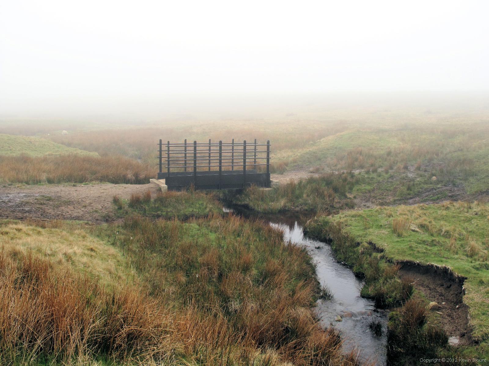
Some moorland footbridges are nothing more than a wobbly plank but not this one!
The next three miles or so were all the proof I’ll ever need of the value of carrying a GPS pre-loaded with waypoints. It was now very foggy; visibility was down to around 50 yards in places. The paths through the scrubby vegetation were virtually non-existent and largely underwater in the boggy conditions anyway so following a compass bearing would have been extremely difficult. But instead we had a comforting little arrow and distance reading guiding us precisely to the next numbered waypoint marked on my laminated A4 map. We were guaranteed to find each exact spot regardless of the meandering route we took to reach it. Marvellous! Not really necessary most of the time but on that morning it made a very difficult situation very simple.
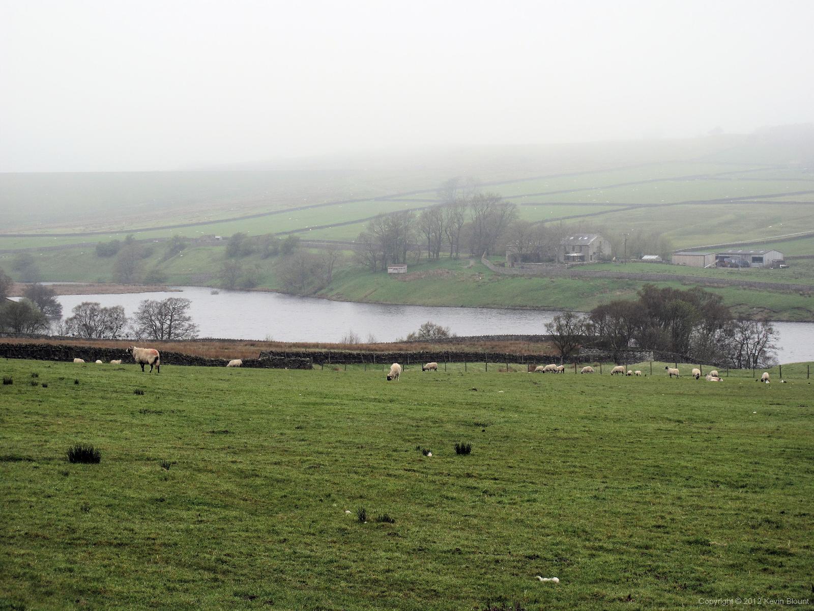
Blackton Reservoir and Birk Hat Farm in Baldersdale
So after yet another slightly tedious spell of bog hopping we finished the Bowes Loop and rejoined the main Pennine Way on the north side of Cotherstone Moor at Baldersdale. I’d been especially looking forward to seeing this place thanks to those moving 70’s and 90’s documentaries about the incredible Hannah Hauxwell who lived and worked at Birk Hat Farm on the edge of Blackton Reservoir.

Blackton Reservoir seemed particularly quiet on that misty morning
Luckily, by the time we got there the fog had more or less cleared so we could take in the views and get some idea of the peaceful, almost secluded nature of the valley. Birk Hat Farmhouse has now been reworked and, at least at first glance, didn’t really look much like the one on film but we didn’t peer too closely out of respect for the current owners.

Hannah’s Meadow
The views of the reservoir and surrounding landscape were definitely recognisable though – a lovely, tranquil place on that misty day. “Hannah’s meadow” nature reserve – three fields in total – has been given SSSI status because the non-intensive farming methods she and her family employed have allowed an unusually wide variety of native plants to survive.

Grassholme Reservoir
Beyond Baldersdale the route continued generally northwards over a fairly gentle hill and across the west end of Grassholme Reservoir. There was then a bit of a climb over Harter Fell and eventually a long descent into Middleton-in-Teesdale. The official route doesn’t actually go into the town but we did as we needed lunch and food for the following day and a few other general supplies. We stocked up at the Co-op on the main street then crossed the road and sat on a bench to eat under the gaze of a rather large but quite polite local cat. It eventually wandered off after it realised it would have to kill us before it got any of our food.
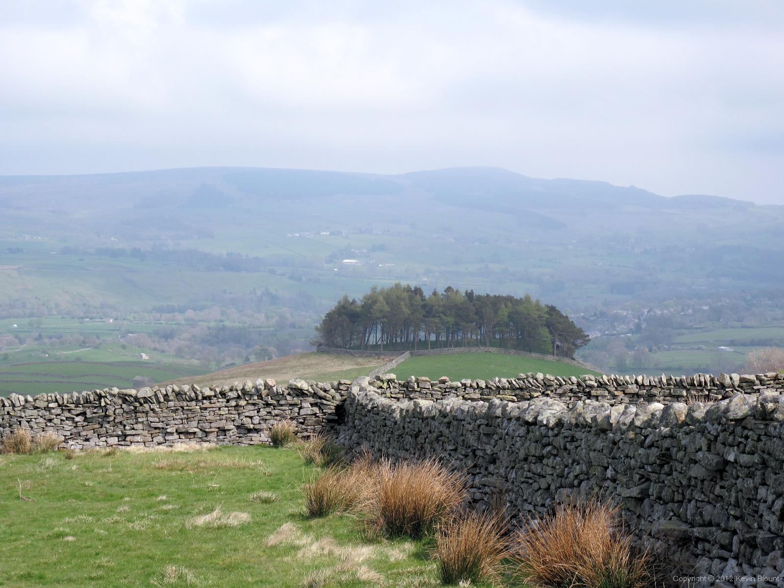
The copse of Kirkcarrion overlooking Middleton-in-Teesdale
Middleton looks like a nice small town with a useful range of shops (unfortunately most were shut during our visit) and several nice looking pubs. It has a pretty tree and flower lined main road and lots of benches and information boards so is obviously geared up for tourists. The problem with visiting towns on a walk is that you only ever get to see a very small snapshot of them. I’d like to go back for a proper look round sometime.

Setting out on a walk along the bank of the River Tees
Once fed and packed up we retraced our steps to the river and set off westwards along the south bank. In total contrast to the morning the sun came out as we followed the easy level path and we felt spring had finally arrived thanks to the bursting buds on the trees and patches of wildflowers everywhere. After a couple of miles we were approaching Holwick, the location of our intended overnight stop, and it occurred to us that it might be sensible to phone ahead and check we could stay there as the various bits of information I’d seen online about the Strathmore Arms suggested that camping was a casual arrangement and not necessarily available.
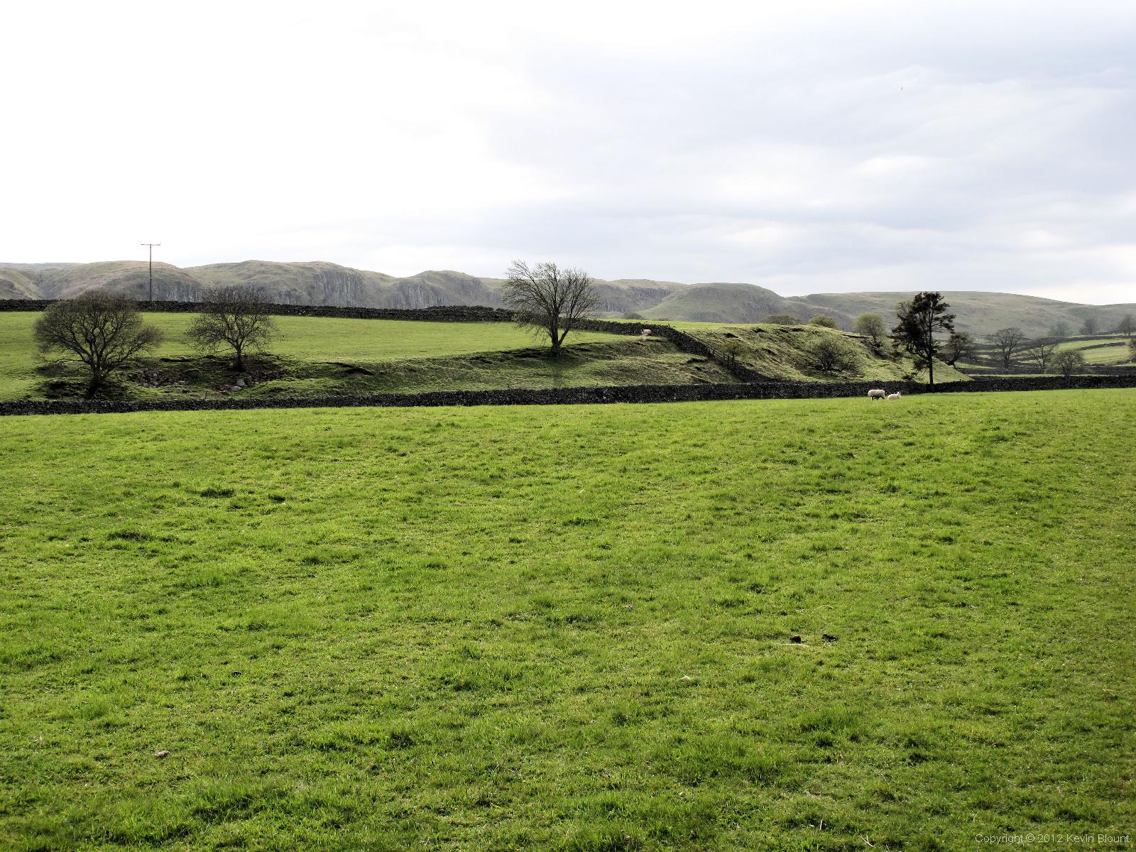
View across the fields to the Holwick Scar – the landslip feature on the horizon
My call was answered by a very friendly guy who said we were welcome to camp there if we really wished but they had no facilities and we would be much better off using the hostel and proper campsite across the road from them. We weren’t aware there was one so thanked him and carried on to check the said site out. Unfortunately the whole place was deserted when we got there apart from a frantically barking dog somewhere in the depths of the large hostel buildings. We phoned the YHA who said we’d have to contact the owners for camping but there was nobody around and no reply on their number so in the end we reverted to plan A, turned up at the pub and stayed in their field. And it was rather nice.

Camping on the steep ground behind the Strathmore Arms
Their field is actually a steep grassy hillside behind the pub with a couple of level-ish areas and some nice views along the Holwick Scars – a line of unusual craggy cliffs formed by a landslip at some distant point in the past. We had a back way in to the pub so could access the loos in the night and we got a decent wash in the handbasins so all was OK, The local beer and food and lively, welcoming atmosphere in the pub were second to none and it filled up with locals during the couple of hours we were there as they had a quiz night organised. They tried to persuade us to join in and it would have been fun but we were pretty tired and had a very long next day ahead of us so we made our apologies and retired early to our tents.