|
Anglesey Coastal Path |
Once the site had quietened down we had a decent night’s sleep and got up a bit before 7am to a slightly grey, hazy morning. Mel had checked out the train times on the internet the previous afternoon and we had a target finish time of 1pm to allow us to buy a couple of souvenirs in Holyhead and get something to eat before hopping on the most direct train back to Derby. Allowing 2 miles per hour (we expected to easily beat that as it was mostly flat walking) we would need about 5 hours to cover the 11 miles so an 8am start should guarantee it. By the tenth day we were pretty good at packing and we walked out of the campsite right on time. There was a bit of a debate about which direction we should actually be heading but as usual Mel was right. To be fair she was carrying the guidebook!
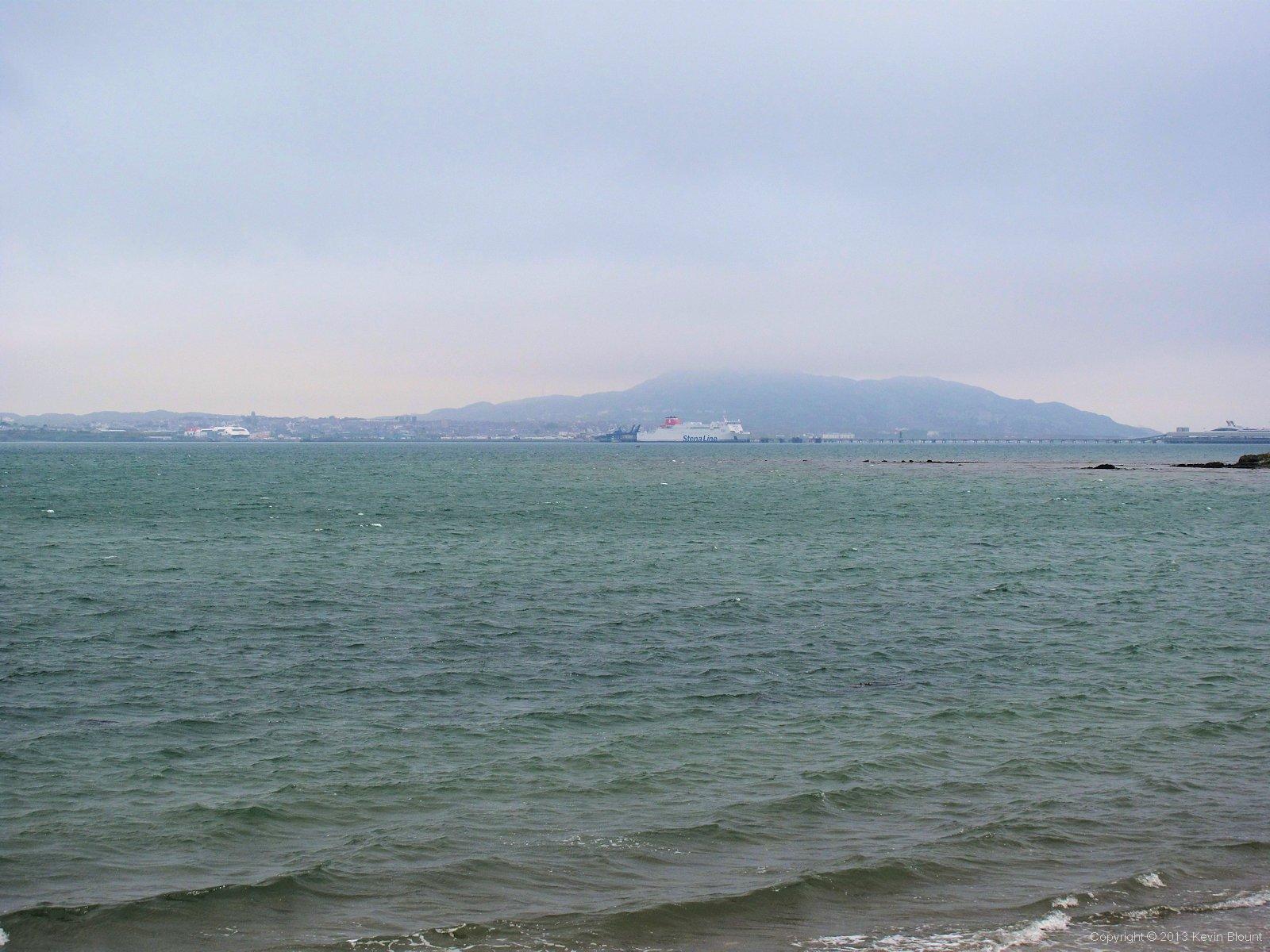
A misty morning with Holyhead Mountain trying to look like a volcano
Rather than sticking to the shore the route follows a farm road down to Penrhyn farm and then out into Porth Penrhyn-Mawr and then traces the edge of what on the map looks like an impressive long, wide beach. The tide was fully in that morning though so we only saw a wide stretch of water. It was a grey, misty morning; no real clouds overhead but enough in the air at sea level to almost hide Holyhead Port from us despite it only being a couple of miles away.
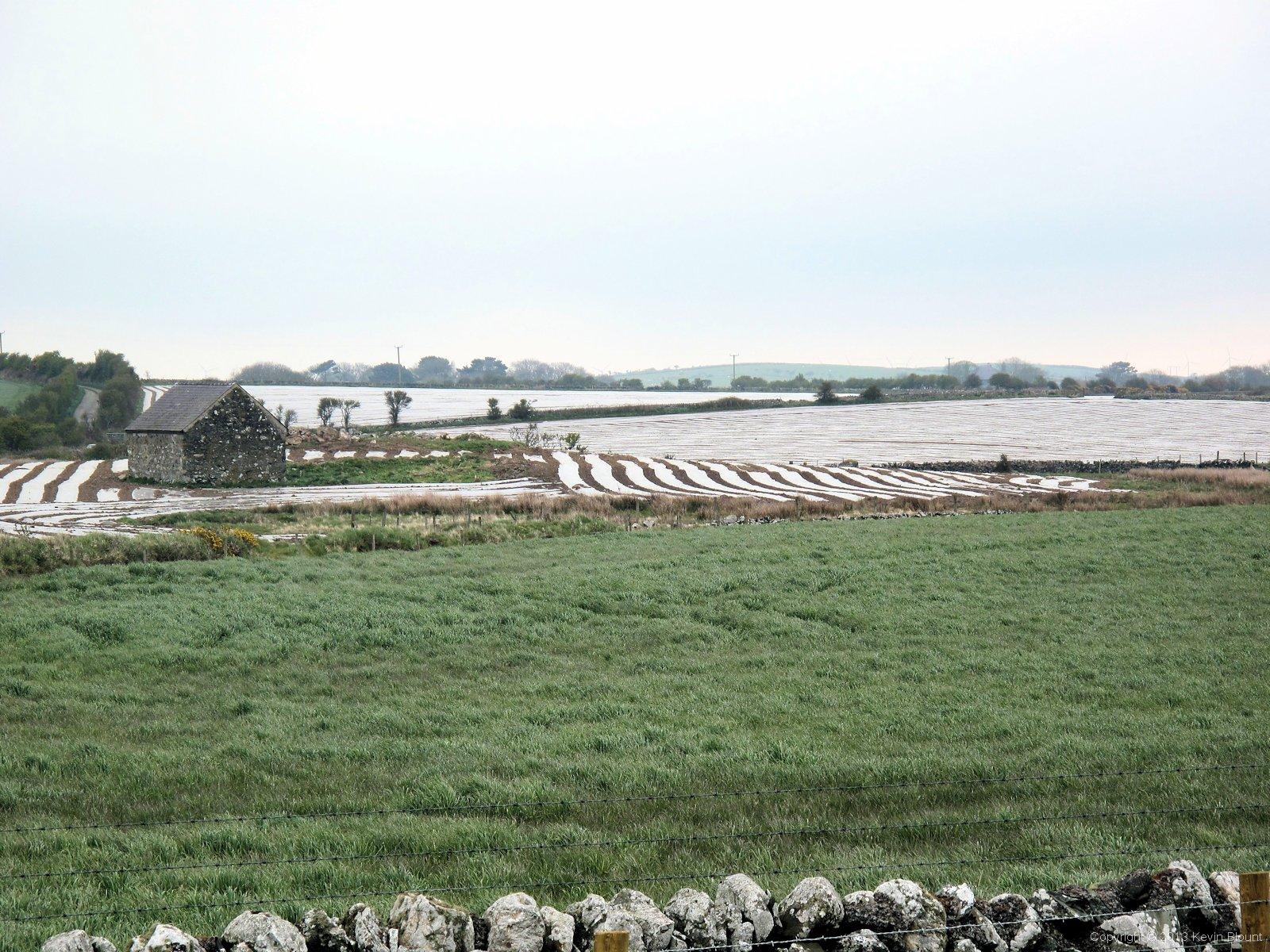
Ever changing farming techniques make for some interesting views
We passed quite a few fields covered in polythene sheeting and lines of earth making a sort of cross between ridge and furrow farming and cloches. A bad description and I’m sure it has a name but I don’t know what it is! It looked quite weird though – expand the picture above, you’ll see what I’m talking about. We also met a sheep that had got itself hung up in a patch of brambles. I walked slowly towards it intending to free it but of course it panicked and got even more tangled up as it lurched about trying to get away from me! Luckily a man out with his camera came along just at that moment and donned gloves to help. Between us – me mainly suspending the sheep off the ground by two big handfuls of wool while he pulled the thorny stems away from it – we managed to release it and it trotted away as if nothing had happened. We last saw it lining up to jump over a collapsed portion of a stone wall. Obviously in an adventurous mood that morning.
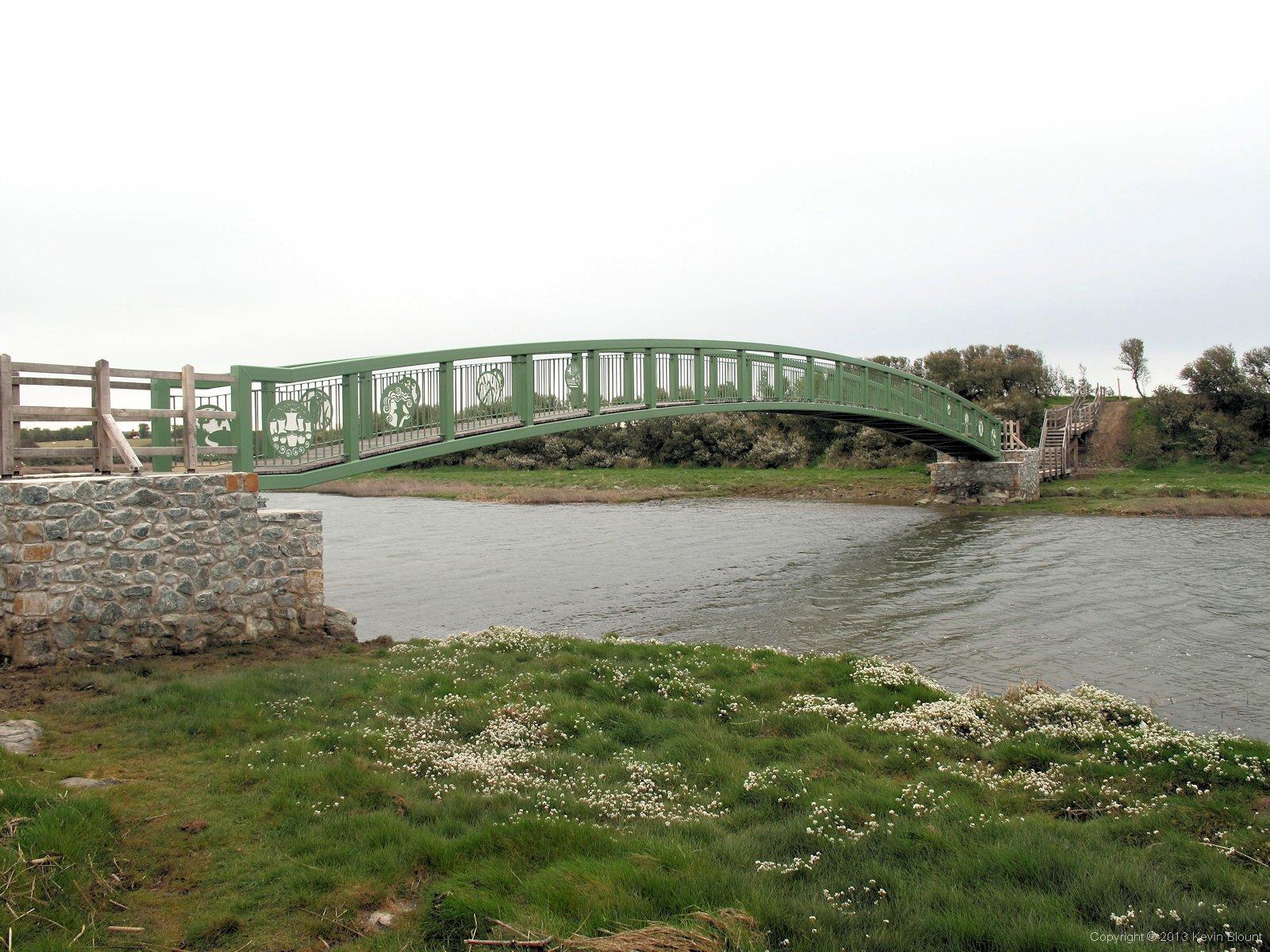
A very new footbridge on an equally new section of path
We’d expected to have to walk inland to the village of Llanfachraeth then road walk down the A5025 to Llanynghehedl to get around the river Alaw estuary but after a short distance we discovered a brand new footbridge. I’m not sure exactly how far inland it is as we weren’t expecting it so weren’t really paying that much attention but it looks like the Coast Path development has taken another big step towards completing the full circuit. It has to be said it’s a really smart bridge – both decorative and strongly built in steel and hardwood with stone piers at either end – a proper job! A nameplate credits it to the Welsh Assembly Government and the European Regional Development Fund.
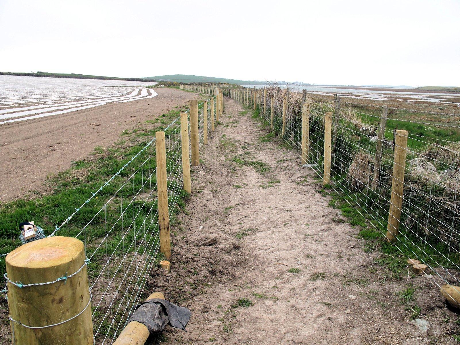
Looks like people have been very busy here. Another missing section of the path completed
And even more followed – just like we’d seen in several other places a thin strip of land along the edge of some fields has been acquired and fenced off to take the path directly back down to the shore, and a raised, narrow stone causeway has been built to safely cross another minor stream and the surrounding marshland. We encountered a couple going in the opposite direction in the middle of the causeway and the meeting of Robin Hood and Little John was mentioned but we all managed to pass without any fights breaking out. At one point we had to duck under a strand of barbed wire where an original boundary hadn’t yet been re-routed, which shows how new it all still was. There were signs of the work continuing in several places but it looked nearly complete.
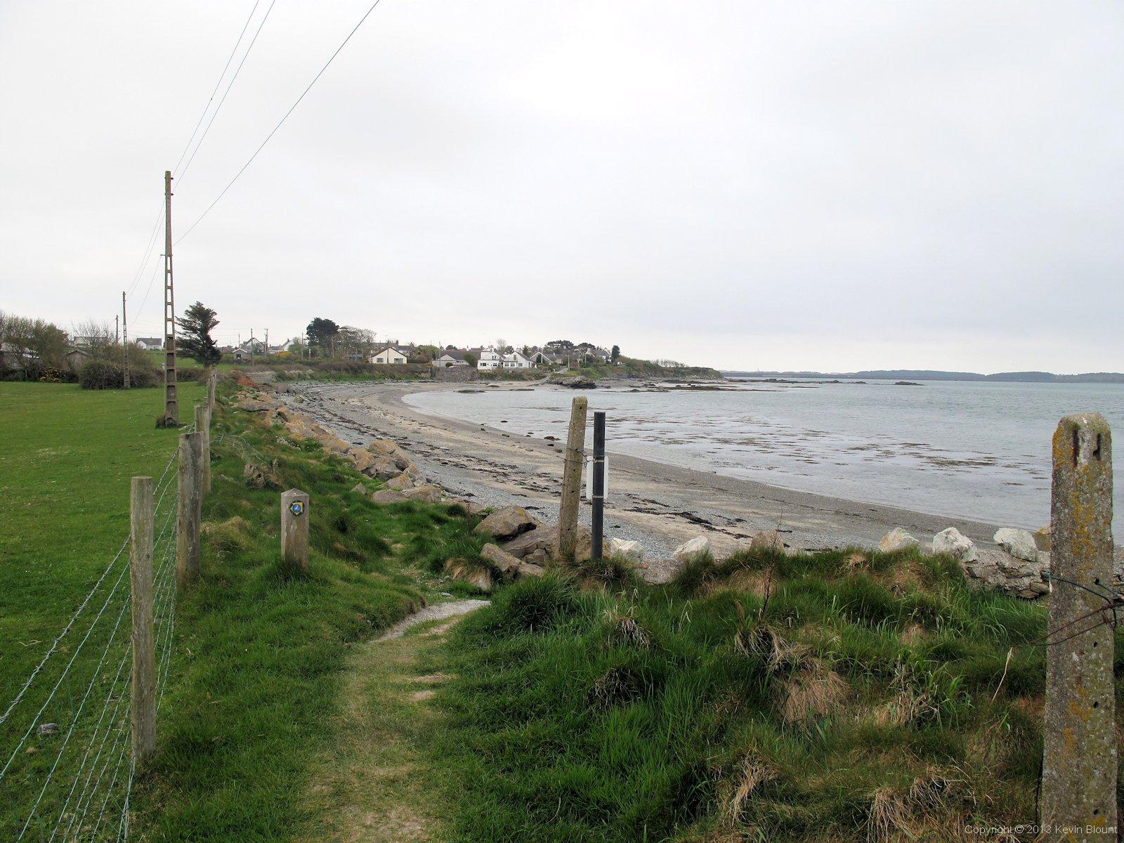
Only a mile of the main island left before the crossing to Holyhead and the end of the trail
So once back at the sea we turned left and headed for the Stanley embankment. With the tide being in it was still continuous water right across the bay to Holyhead but the map shows that had it been low tide we would actually have been walking next to a river at this point with a half mile wide beach beyond.
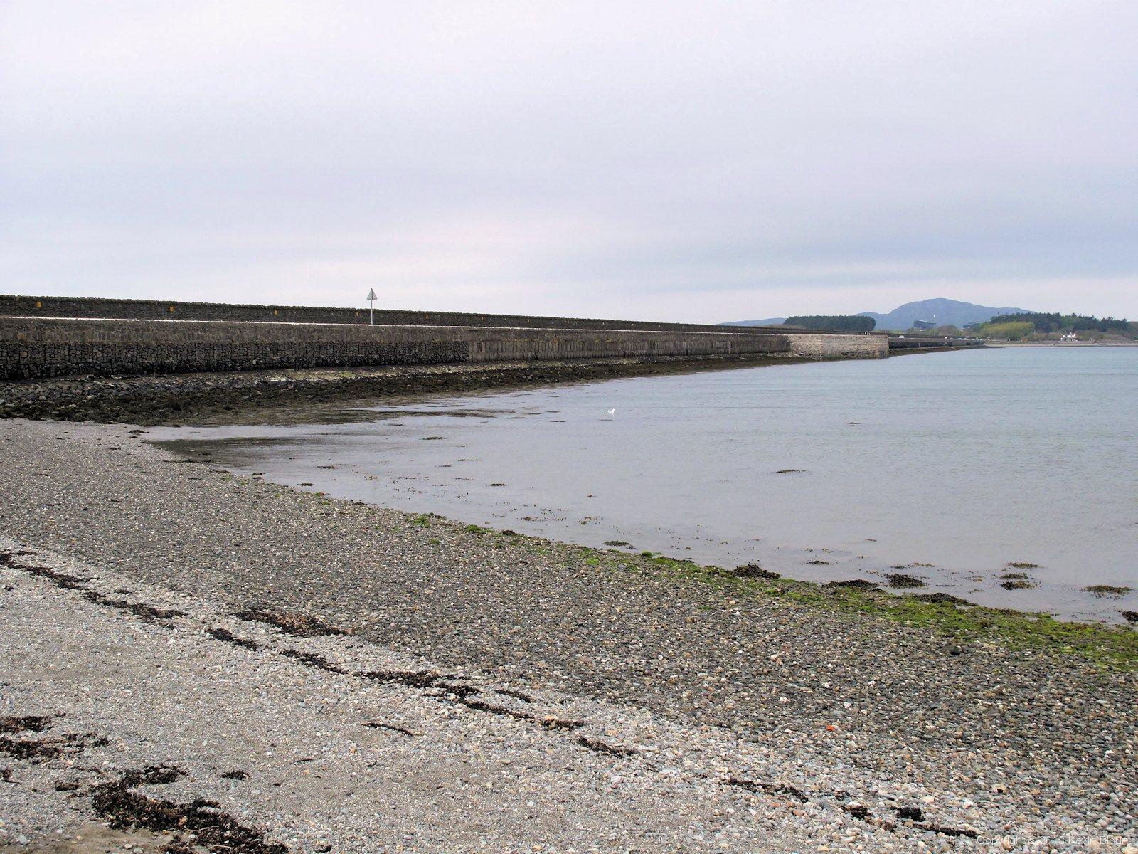
The Stanley embankment carries two roads, a railway and a footpath across the wide bay
The shore on this last stretch varied between a gritty shingle and a lumpy assortment of rocks. There were lots of different coloured shales and slates, particularly nice were some lilac and grey striped stones. I chose a small stripy pebble to bring home as a souvenir – I have a steadily growing collection of small stones in the tray in the base of the LCD monitor on my desk, gathered from some pretty special places. So far I can clearly remember where they all came from bar one!
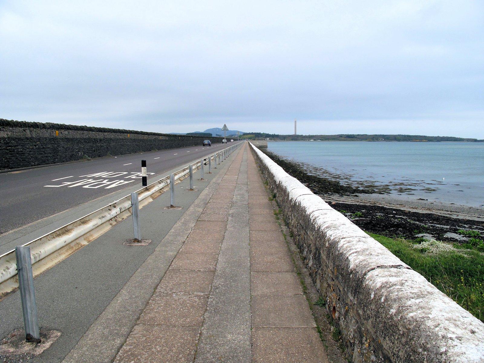
Walking alongside the A5. And the railway. And the A55
On the embankment we turned towards Holyhead on a slabbed pavement next to the wall overlooking the sea. To our left was a single two-way road – the A5 – and then a high stone wall that we couldn’t see over but which separates the road from a railway track. On the far side of the railway is a dual carriageway, the A55. Quite an important embankment really. In spite of all that there wasn’t very much traffic on the Sunday morning and we had quite a peaceful crossing.
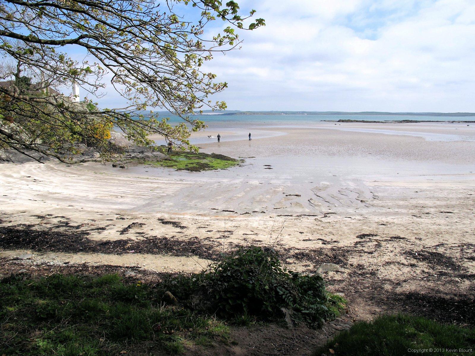
Sandy beaches and a view across the bay to near the last night's campsite
The mist had begun to disperse as the sun climbed and by the time we got to the end of the embankment it had turned into a fine sunny day. A small milepost by the roadside showed us it was just 3 miles to Holyhead – ok, we were going via the coast path but our route was only slightly further – the walk was nearly over. Just off the main road in the Penrhos Coastal Park (originally the home of the Stanleys) we bought ice creams and drinks from a van and then enjoyed a very picturesque stroll along wooded paths around the headland. The air had really cleared by then and at one point we caught sight of the polythene covered fields across the bay near where we had started out that morning. A couple of miles as the crow flies but nearly ten by the route we had walked!

Holyhead port - the busy ferry link to Ireland
It was quite fascinating watching the huge lumbering ferries turning and reversing so very slowly into their docks, dwarfing the harbour buildings and the smaller boats around them.
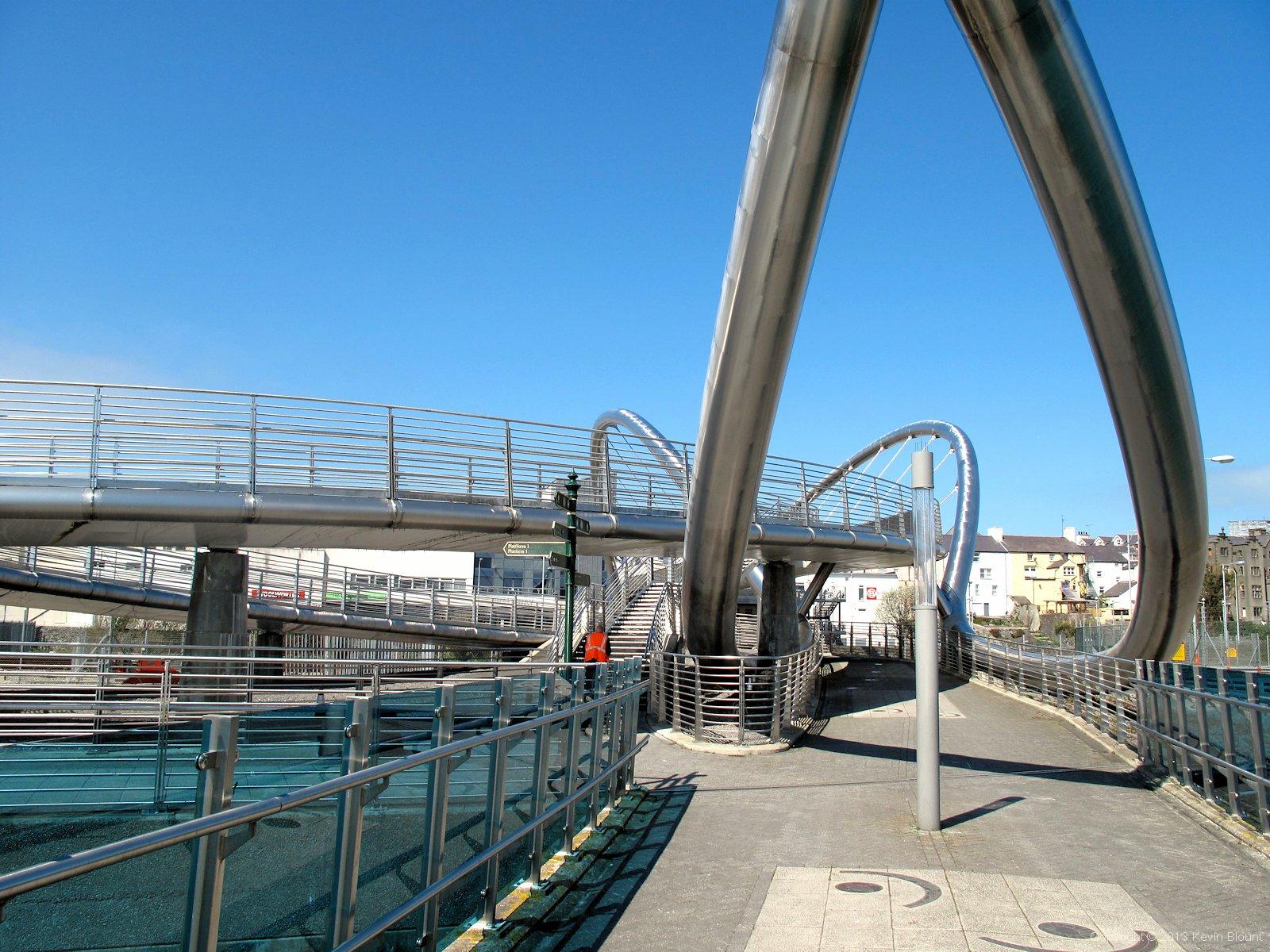
Been here before! Still all shining brightly in the sunshine
The coast path eventually emerged onto a road and we found ourselves heading into Holyhead town centre once more beside the shiny, curvy stainless steel tubes of the port architecture. We passed the railway station and followed the same route we’d taken 10 days before into the main street and up to St. Cybi’s church.
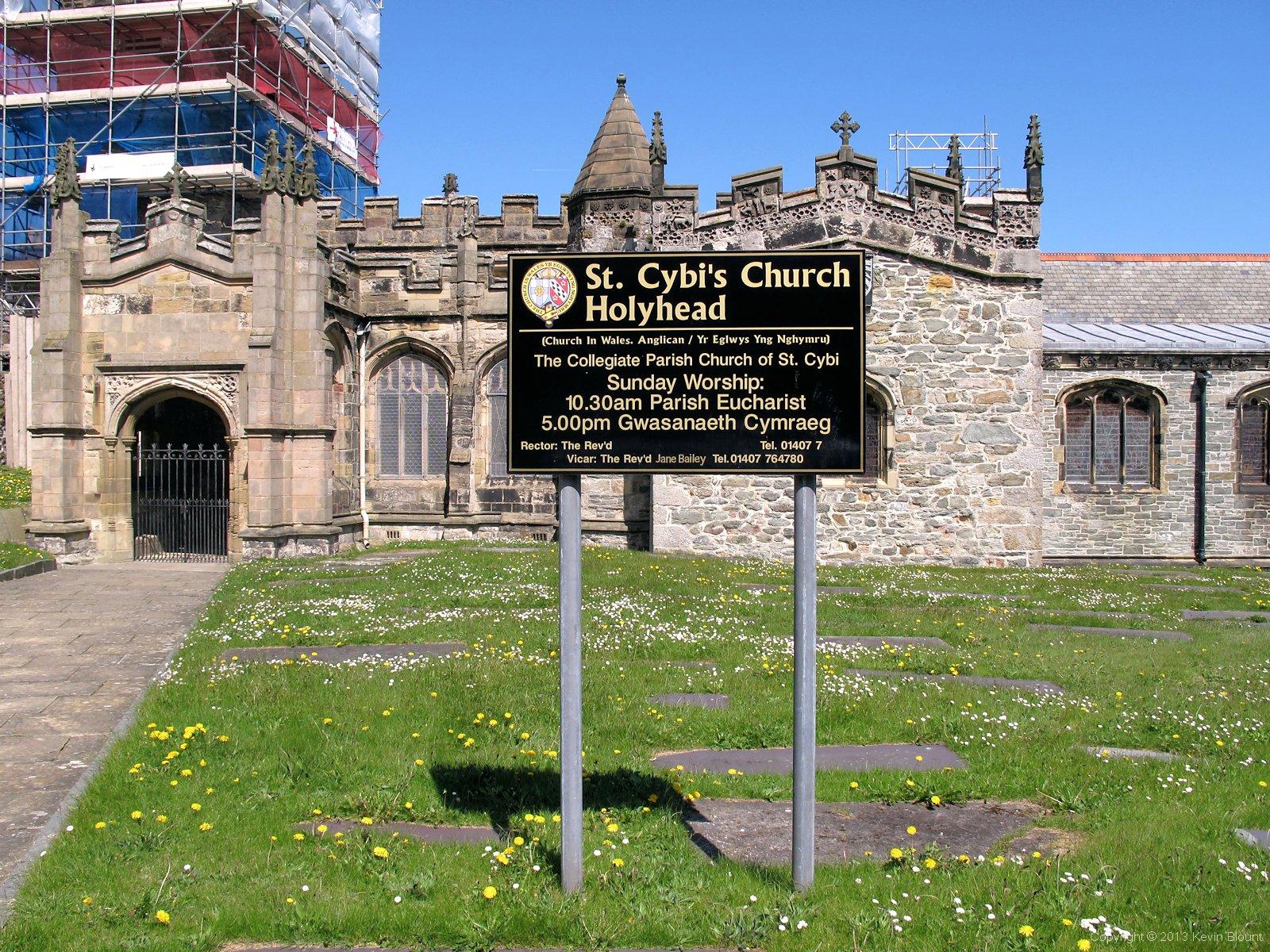
This isn't the same photo I used on page one, honestly!
The church still had its scaffolding and brightly coloured wrapping and there was still nobody around to take a picture of us so we both took some more photos of the church ourselves. Admittedly they were indistinguishable from those we took at the start but we knew they were different. Or more to the point we were – we’d just completed the Anglesey Coast Path!

Aha - so that's what it was!
And this time we actually spotted the official start/finish plaque and took a photo of that too!
We sat on a bench in the churchyard and ate our sandwiches then wandered back into the town centre to get some gifts to take home. We’d been keeping half an eye out for suitable souvenirs all the way round but obviously when you’re backpacking anything you buy has to be carried (and potentially crushed and/or soaked in your rucksack) so there’s always a tendency to leave it until the end. A word of caution here though; if you finish this walk on a Sunday don’t expect to buy lavish gifts in Holyhead because it’s closed! There was a Co-op Foodstore, a bargain hardware store and, fortunately for me, a nice little jeweller’s shop with some suitable Celtic style trinkets, but apart from those and a couple of pubs it was virtually deserted.
We’d had a straightforward walk that morning so had arrived in plenty of time and we took in another leisurely lap of the town centre then wandered back to the railway station and caught our train home. We’d thoroughly enjoyed walking the trail but, as ever, our feet were tired and we were ready for a proper change of clothes and a return to our normal lives. We’d satisfied our need for outdoor adventure once again – for the time being!