|
Anglesey Coastal Path |
Day 1 | Introduction | Day 3 |
We were up and away reasonably early on the Sunday morning. The weather wasn’t bright and clear like on the previous day but it wasn’t bad. Dull and rather chilly would be a fair description but that’s actually quite suitable for backpacking. It was good to walk down the driveway from the campsite and immediately pick up the coastal path again. As we headed towards the sea the wind strength increased until we were leaning in to it – proper coastal conditions!
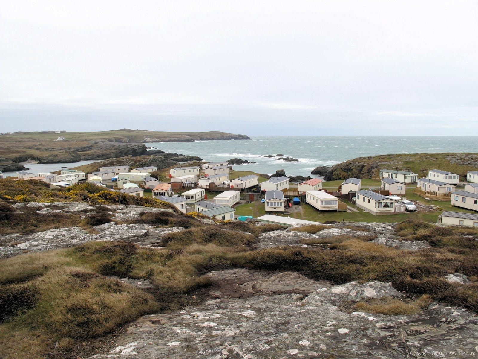
What a fantastic place for a holiday site - especially in good weather!
We passed a caravan site nestled down in a bay to our right and exchanged greetings with several people out walking dogs, presumably from the site. The last of the group was a lady wrapped up in a coat, hat and gloves – she grimaced as we passed. ‘Isn’t it COLD!’ she exclaimed. ‘Oh it’s OK’ I said with a smile, ‘It’s good walking weather – it’s refreshing!’ ‘No it ISN’T!’ she replied, her tone leaving no room for persuasion. I suppose it was a bit bleak for a gentle stroll with a dog.
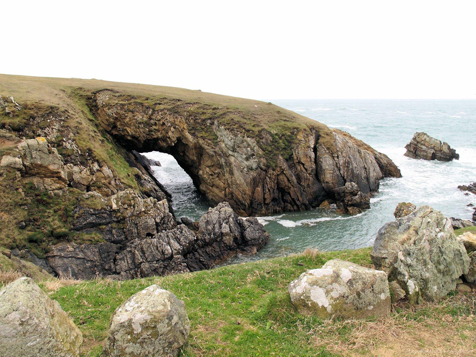
Bwa Gwyn - the first of several sea arches we saw around the island
The path along this stretch was very exposed and although the sea wasn’t especially rough the waves were hitting the jagged rocks at the base of the cliffs with enough force to throw some pretty impressive spray high into the air. As we passed the Bwa Gwyn sea arch we decided it would be a good spot to take a break and have our breakfast cereal bars (always best eaten with a view!) so we inched our way down the steep grassy slope into the shelter of the bay to find a relatively still place to sit and watch the water churning and splashing way below around the foot of the arch.

St Gwenfaen's Well was a place of pilgrimage in the middle ages and may have had a roof at that time
Not far beyond the arch we came across Saint Gwenfaen’s Well which the guide book tells us was popular in the middle ages due to a belief that the waters could cure mental illness. I don’t know about mental illness but you’d at least need seriously impaired judgement to drink the water as it was a rich, murky orange colour! There are steps and seats built in to the stonework so maybe people just bathed there instead.

Borthwen is a small sandy bay with lots of rocky islets just offshore
The route sticks to the edge of the land for a couple of miles, rising and falling with the craggy cliffs. We passed a modern coastguard lookout station and then descended to a couple of curved sandy bays and turned inland into a wood of tall straight pine trees on the second one.
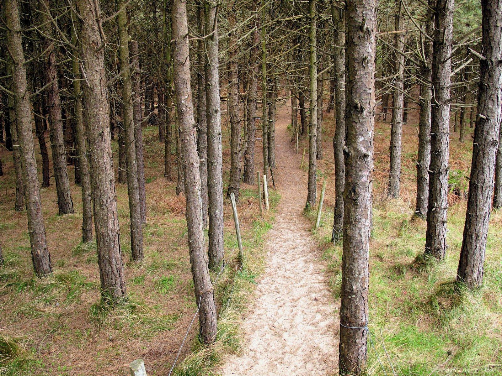
A sandy path heads through a small pine wood from Silver Bay
The sandy path led through the wood and across some fields, merging with a farm track that made for easy walking for a while. Once away from the cliff tops the wind disappeared and was replaced by a grey, still dampness. Soon a fine, light drizzle began so we stopped and put our jackets and rucksack covers on just to be on the safe side but didn’t bother with waterproof trousers as it didn’t look that threatening. Bad decision – it soon increased and within a few minutes our legs were soaked! We plodded along a road for a while and on reaching the next footpath the long wet grass and deep mud that we could see from the stile made us decide to stay on the road instead and hope for somewhere indoors to eat at Four Mile Bridge. A Landrover stopped in a field entrance across the road and on getting out to open the gate the lady farmer shouted across to enquire if we were ok or needed directions – we obviously looked rather lost and bedraggled at that moment! She confirmed the road would be the better option and we set off again, the rain now steadily easing until, just as we entered the village, it more or less stopped and the clouds began to break up. The map showed a hotel but in the wrong direction for us so we headed into the village and over the wide bridge-cum-dam that crosses the stretch of water that separates Holy Island from the main Isle of Anglesey.
Unfortunately we didn’t see any pubs, cafes or shops before we got to the signpost directing us back into the wilds so we asked some men who were painting a house next to the path if they knew of anywhere. They directed us to a shop and pub that was ‘just half a mile up the road – I can see it from here’, which actually turned out to be a car driver’s estimate as it was a good mile over the other side of a hill in the large village of Valley! Nonetheless it was good advice and we enjoyed a drink and a light lunch in the Valley Hotel then stocked up with provisions for the next day as well from the Spar supermarket across the road. The extra couple of miles and the pub break set us back a couple of hours but it was well worth it and we set out for the afternoon stage dry and refreshed and grateful that the brief spell of wet weather was over.
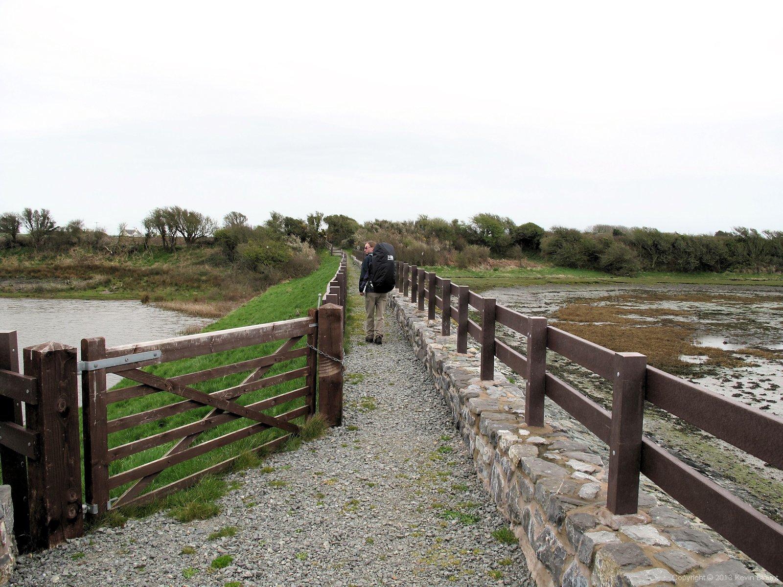
Salt marshes, nature reserves and Anglesey Coast Path all neatly fenced and signposted.
Back on track and camera out again we crossed another causeway over an estuary, this one much smaller than the Four Mile Bridge version. The path fairly closely followed the convoluted edge of the tidal mud and sand flats until we arrived at Anglesey Airport aka RAF Valley Airfield at Llanfair-yn-neubwll.

A silent airbase on a Sunday afternoon. The following day we realised just how silent it had been!
An area of rough grassland contained several sets of aircraft landing lights on tall frames leading towards the runways and buildings of the airport. The guidebook said we would have been only too aware we were approaching an airport from the constant jet planes screaming overhead during the last few miles. That may well be the case on any day but Sunday; it was more or less deserted when we passed through and we hadn’t noticed a single plane all day!
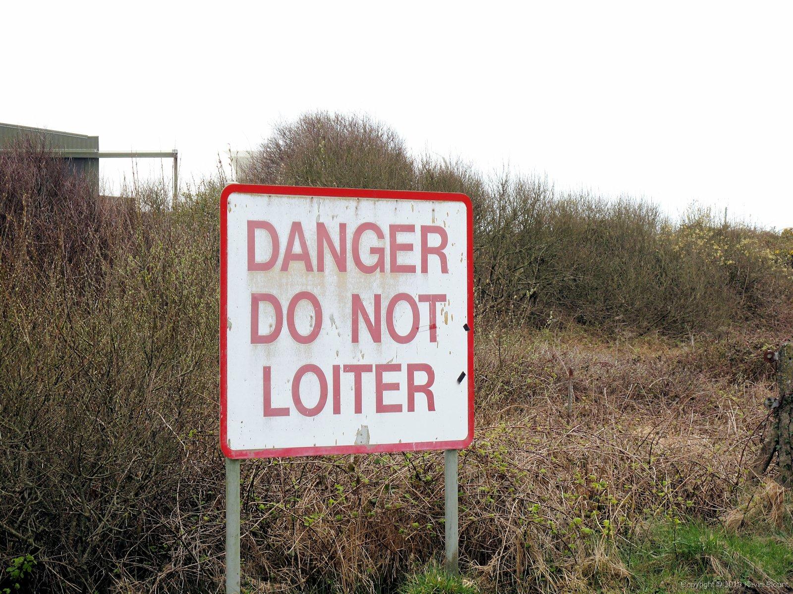
The military do like their stern warning signs! At least they weren't threatening to blow us up if we touched anything this time!
Signboards warned us to keep moving along the path and not dawdle near the runways but we weren’t worried – on other walks we’d passed signs threatening that anything we touched might explode and kill us so these warnings were very mild in comparison!
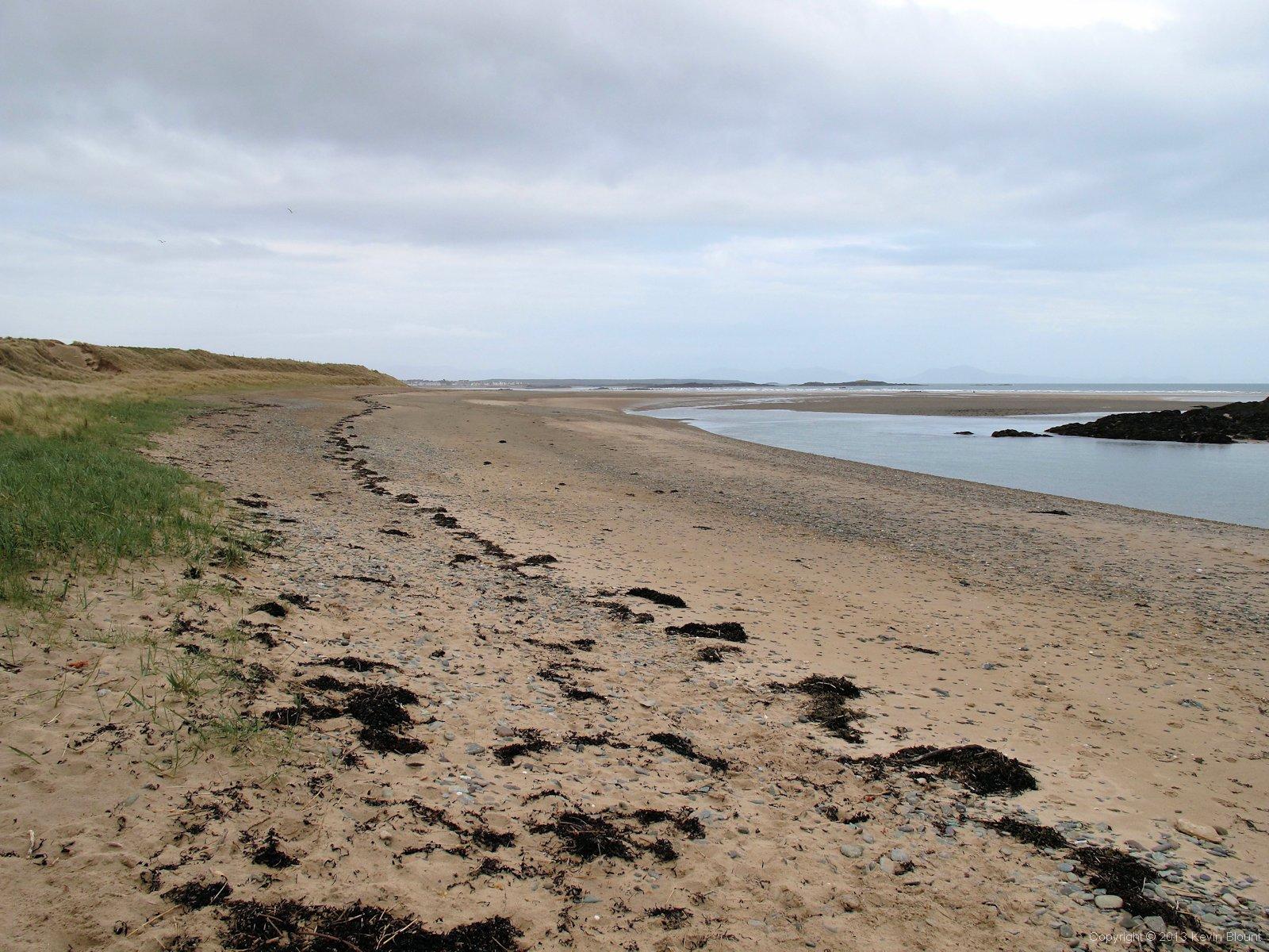
Cymyran Beach runs alongside the airport for almost a mile
The airport perimeter runs alongside Cymyran Beach, which made for a very pleasant late afternoon plod and at the point where it curves right towards the cluster of rocky islets (Ynys Feirig) we should have headed diagonally left over the dunes to cross the river Crigyll via a footbridge half a mile inland.
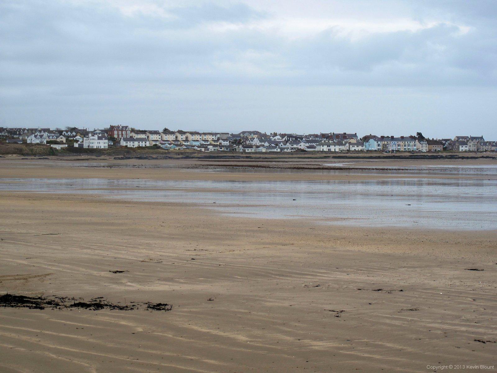
A long beach walk to Rhosneigr ends the day. A real treat for us Midlanders
But we were enjoying our beach walk so kept straight on across Crigyll Beach, sort of hoping that as the tide was out the river might be dispersed and shallow enough to be fordable where it crossed the beach at the far side. No such luck! We had to backtrack a bit to get to the bridge but it wasn’t too far and the route brought us out onto the main road not far along from the campsite.
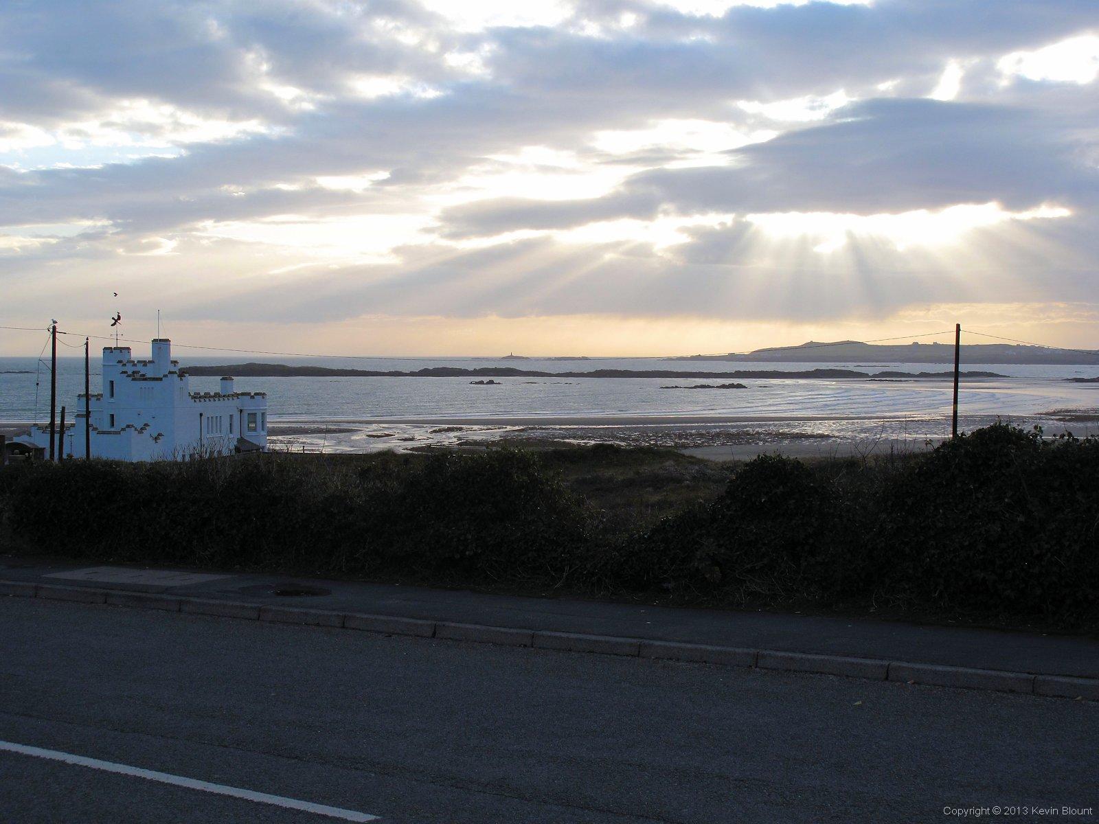
The beginnings of a fine sunset over Crigyll Beach
We wandered about for a while before we worked out that the campsite reception was on the opposite side of the main road in the front part of a static caravan park, but this time the doorbell was answered and we were welcomed and advised where the best place would be for pitching the tents. As we were pretty late again we decided to just pitch and go into the town and get some food then shower and get our kit sorted out afterwards. We passed quite a few pubs and restaurants but most were closed or not doing food and we were starting to worry we might not find anywhere, but then we came across the Glan Neigr. That was perfect and met our usual requirements of relaxed atmosphere, nice beer, decent food and fair prices. The landlord was very friendly too which always helps. Fed and relaxed we strolled back to the site in failing light and by the time we’d showered it was dark with quite a strong, cold wind blowing. We were tired and quite pleased to flake out early in our tents, hoping that the bright sunshine would be back in the morning.
Day 1 | Introduction | Day 3