|
Anglesey Coastal Path |
Day 2 | Introduction | Day 4 |
It did get quite nippy in the early hours but an almost clear blue sky and bright sunshine got us up and moving and the chill soon vanished from the air.
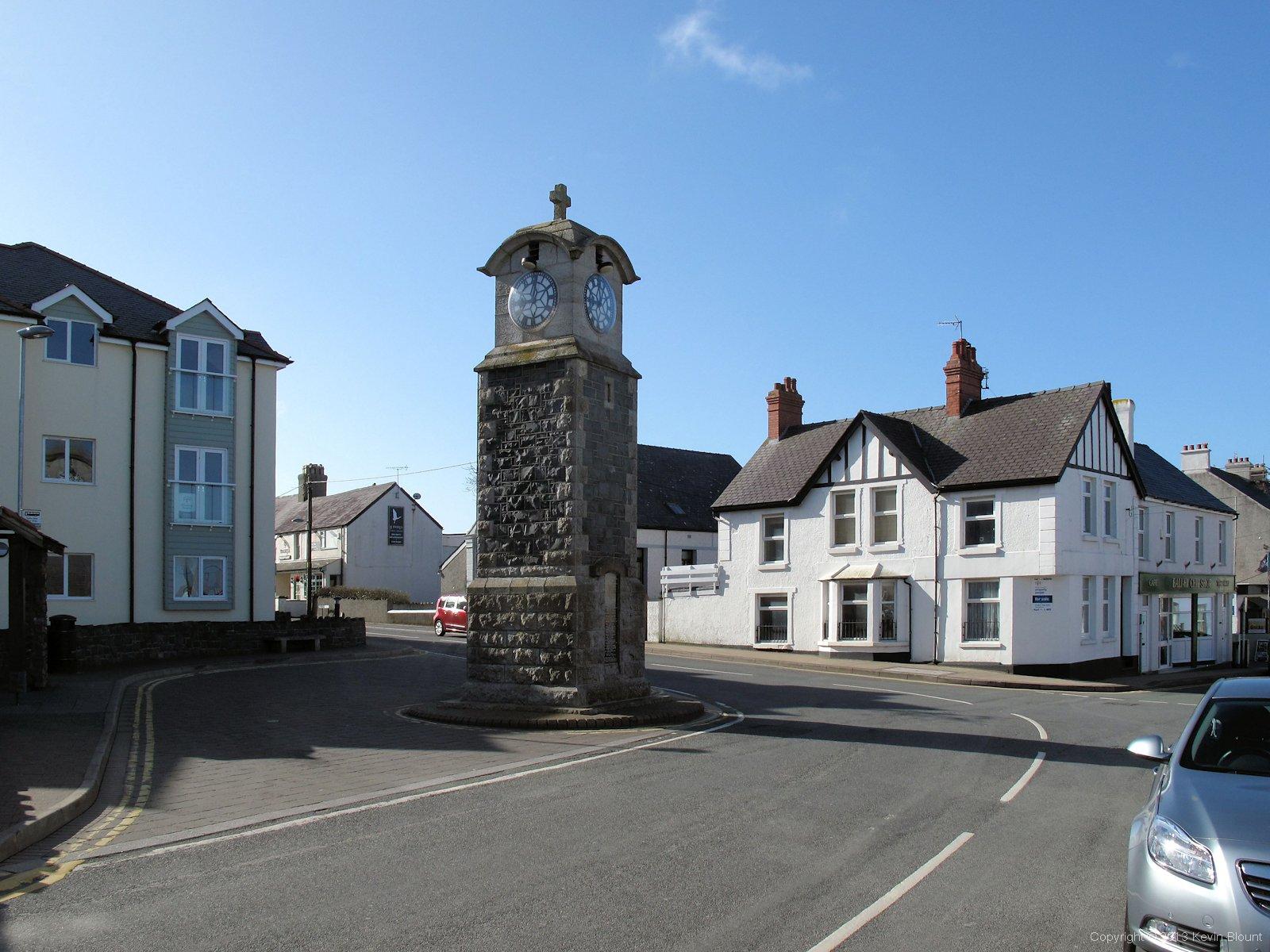
The morning sun climbs into a clear blue sky over Rhosneigr's war memorial clock
The route goes through the village so we picked up some extra supplies for the day on the way – we didn’t really need much as we’d bought our lunch at the supermarket in Valley the previous day.
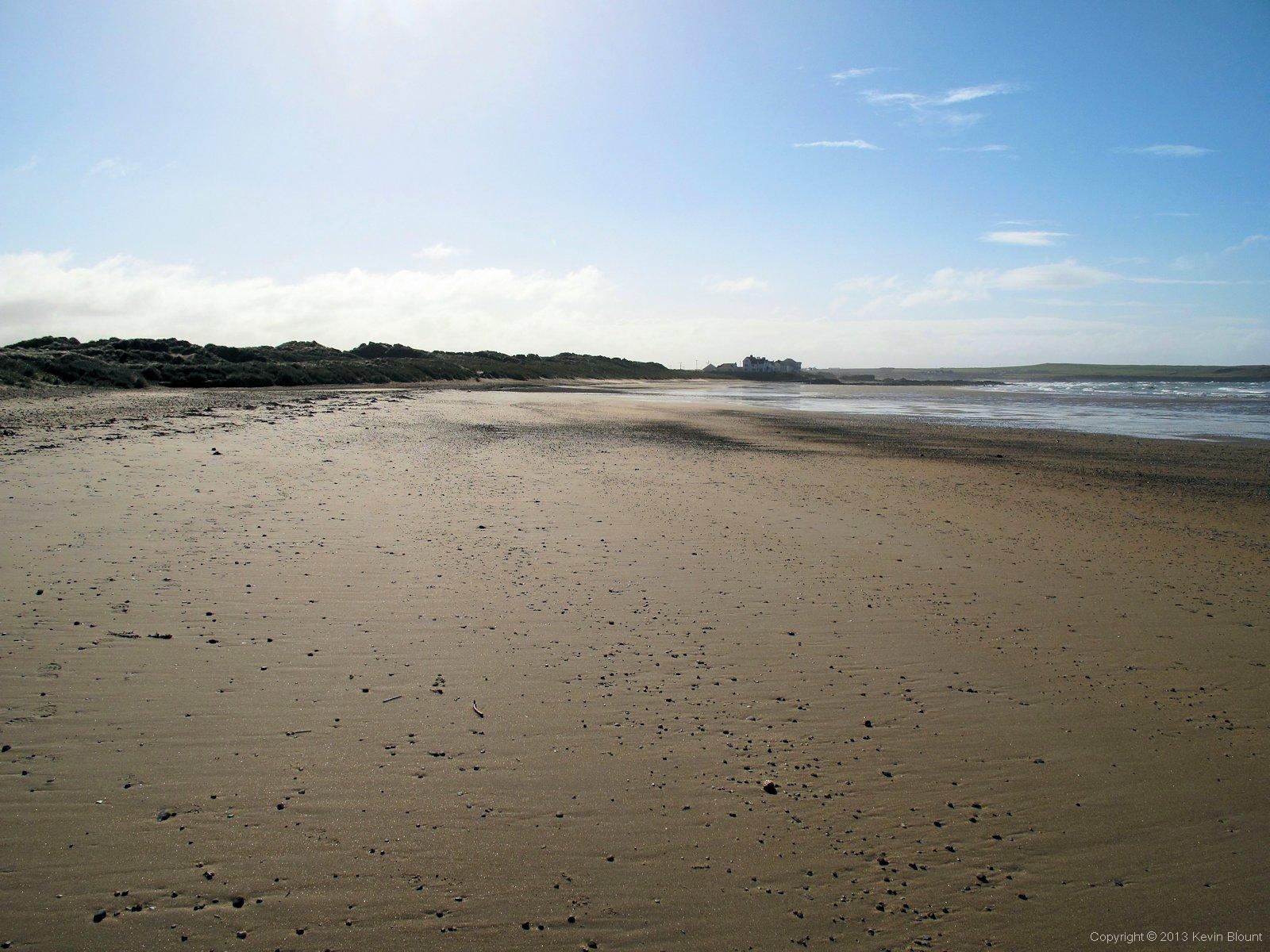
This beats my average Monday morning!
At the end of the village the road leads onto the beach and as the tide was out we were able to walk straight ahead across the sand to the rock pools. It was one of those mornings when you think of your colleagues settling down to their day’s work and smile!
Right from the moment we’d woken up we’d heard the military jets taking off, flying in a huge circle and going in to land again then pulling up at the last minute and going round again and again. We could watch them more easily from the open beach and at times there were three in the sky together which was quite an impressive sight but very noisy! They continued all day as far as we could tell but as the day wore on we got further away from the airbase so saw less of them.
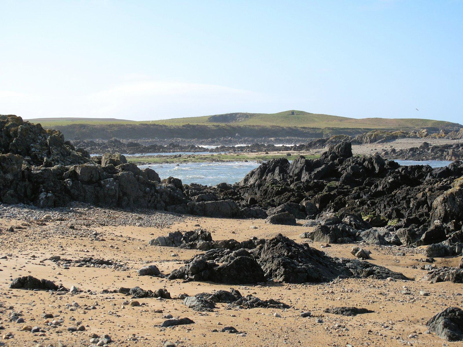
Slightly disappointing rock pools though - very scenic but not much animal life in them
The rock pools at the end of the beach were perfect for clambering around on and there were plenty of deep puddles containing shells and various bits of weed but we didn’t see anything moving in any of them. Probably just as well as I can spend hours peering into rock pools but we were keen to move on for a closer look at the burial chamber that overlooked the beach from the hilltop ahead.
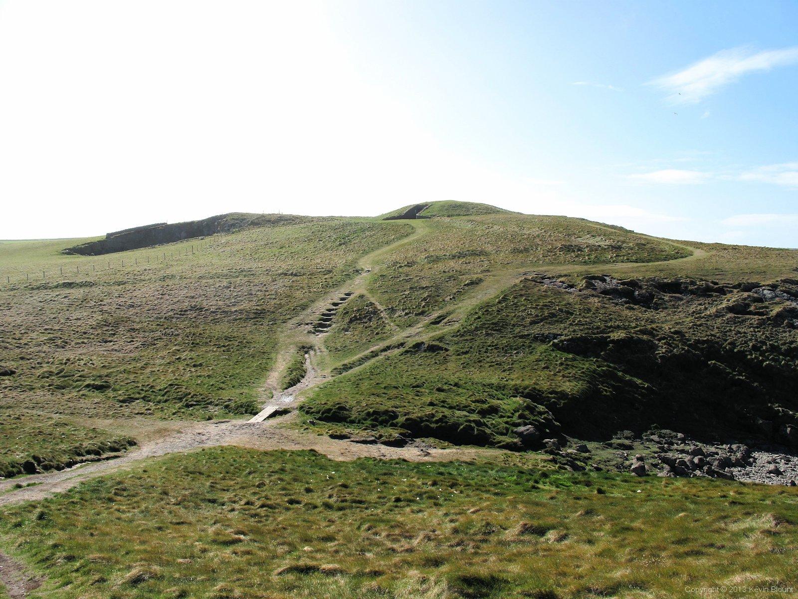
A tomb with a view? Barclodiad-y-Gawres neolithic chambered cairn sits on the top of the hill.
The path skirted round the headland at the end of the beach and climbed to join an optional path up to the chamber. We took the option of course.
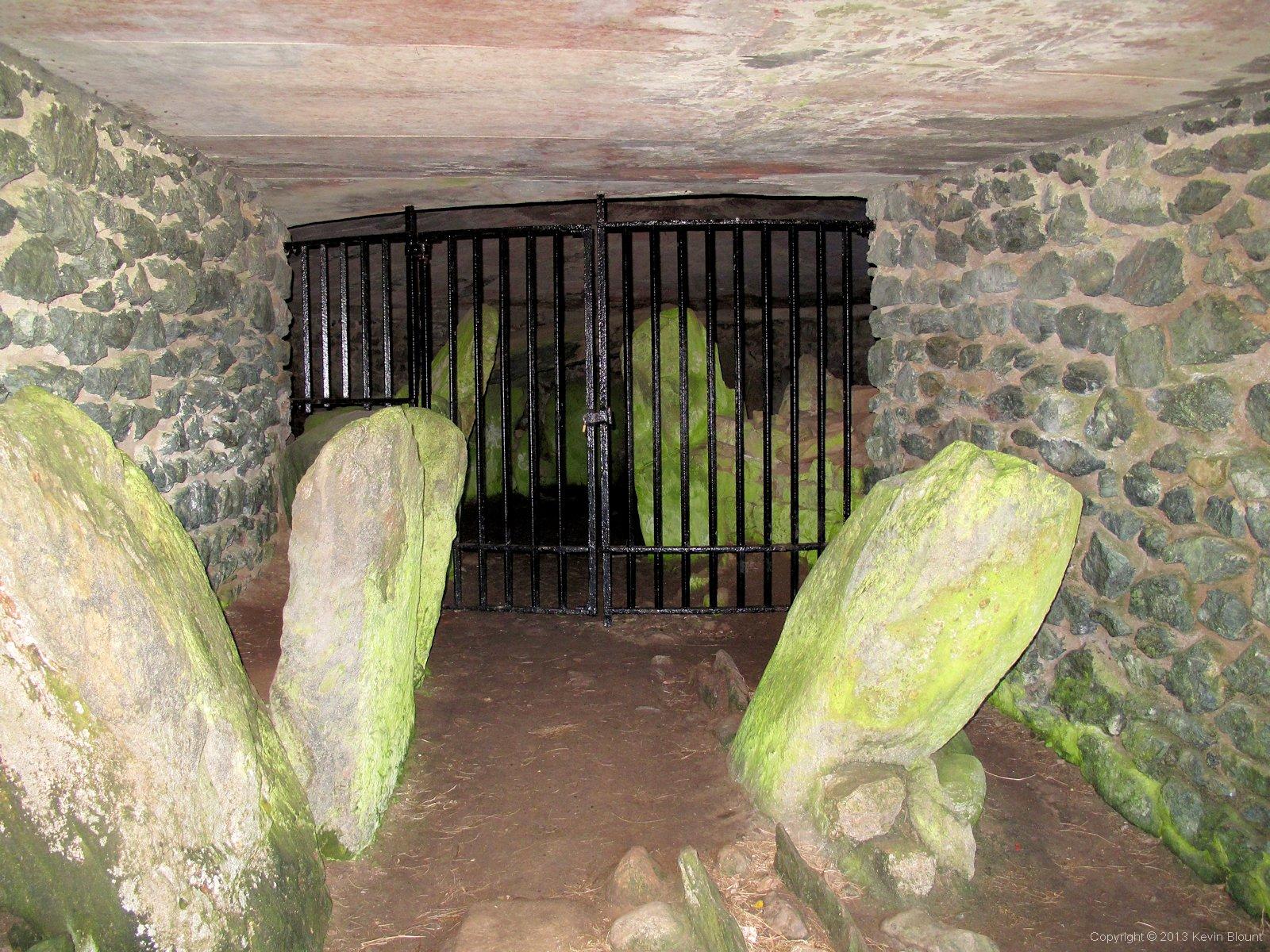
Unless you have an official guide you can't get beyond the inner gate. Still worth a look though
Barclodiad-y-Gawres is a 4,500 year old neolithic chambered cairn that’s been restored and covered over with a solid roof within the mound. Iron gates protect the inner chamber but there are quite a lot of original stones both inside and out. A sign says it’s in the care of the Secretary of State for Wales and that it’s an offence to injure or deface it. We are a strange race aren’t we – why should signs like that be necessary?
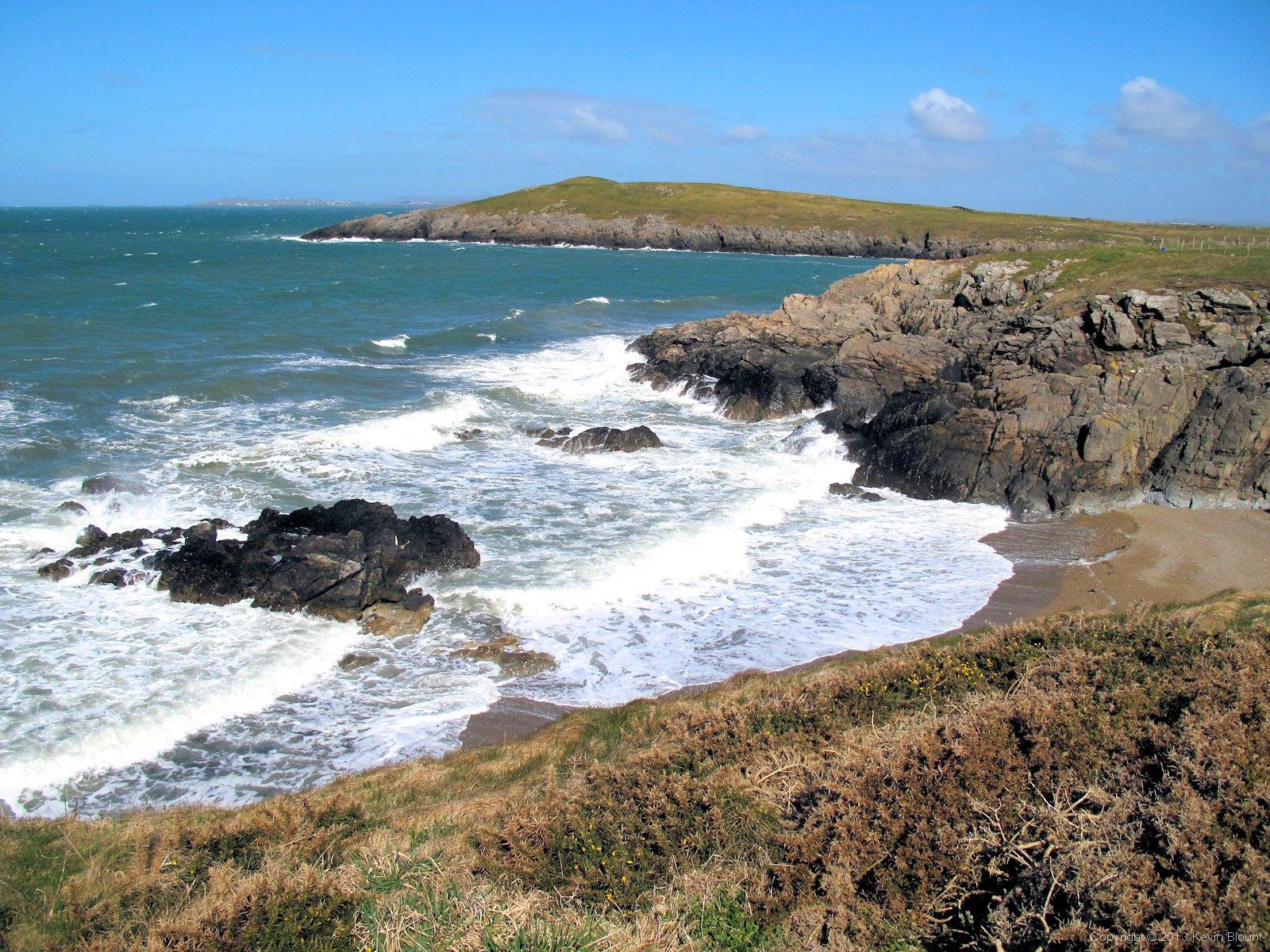
The ever present sea 'breeze' was whipping up some frothy waves
We sheltered from the strong wind on the back of the cairn’s mound and enjoyed the warm sunshine while we ate our breakfast bars, then continued along the cliff tops for a while. In a bit less than a mile the path turned inland to skirt round the Anglesey Motor Racing Circuit.
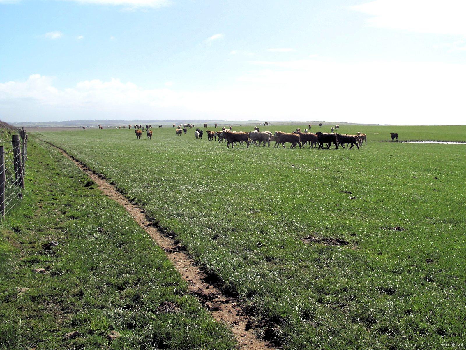
Obviously not too sure about backpackers - they soon legged it!
As we stepped into a huge field we saw a large herd of young bullocks suddenly take an interest and start to move in our general direction. ‘Here we go’ I said to Mel as more and more of them joined in the movement but then at about 50 yards, presumably when they saw we were still walking towards them and weren’t their friendly farmers after all, they all wheeled round and stampeded out of the top corner of the field into an adjoining one! We chatted about the possibility of new careers in cattle rustling for a while after that but decided it would probably be too easy. Just after that we met a couple who were walking a few days of the path in the opposite direction to us. They too were amazed at the fantastic amount of sunshine we were getting although interestingly they hadn’t had quite the same weather pattern that we’d had. It’s actually surprising how much it does vary over the island; we later discovered we’d missed at least one wet day and possibly another grey one by being in the right place at the right time.
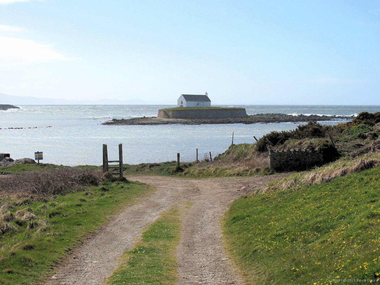
St Cwyfan's church looks like it might test your faith on a cold, wet winter Sunday
St Cwyfan’s church on the tiny tidal island of Cribinau dominates the view on returning to the coast. It’s a 13th century church and various old documents suggest it was actually built on the mainland. It probably wasn’t until the end of the 18th century that coastal erosion finally cut it off at high tide and then the seawall around the church had to be built in the 19th century to stop the graves from being washed away.
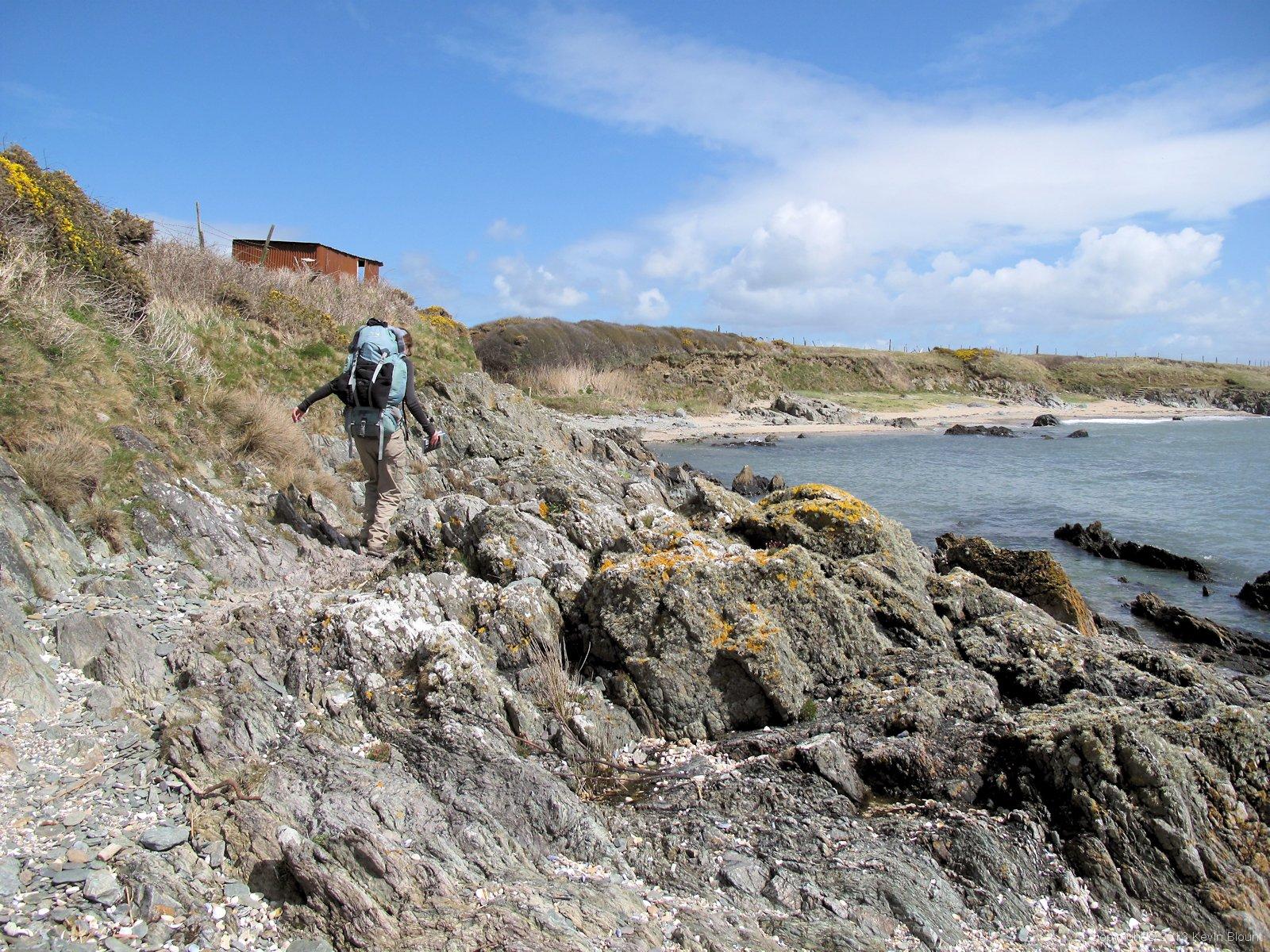
There's not always much of a path when the tide's in!
A couple more miles of craggy cliffs and crashing waves brought us round to Aberffraw Sands and the huge area of dunes and marshland in the estuary behind. The river Ffraw hugs the coast on the west side of the bay and so our path inland to Aberffraw was along its bank – a lovely gentle stroll now we were sheltered from the rough wind.
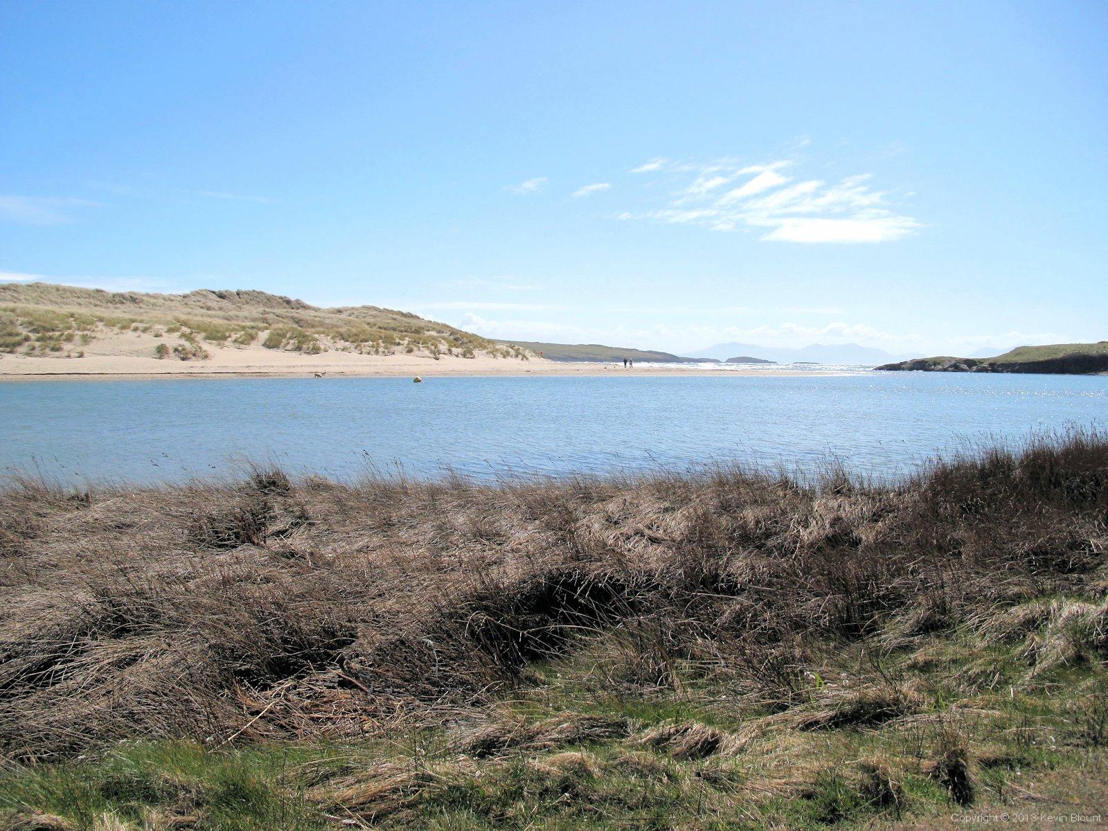
A peaceful spot for lunch by the river Ffraw
We found ourselves a comfy spot in some soft dry grass and settled down for a lunch break with a view. Nobody came past us on our side of the water but the far side seemed fairly popular, particularly for people wanting to let their dogs race off some surplus energy! From where we sat we could only see a row of low sandy hills along the opposite bank but a glance at the map revealed that it was just the near edge of a very wide expanse of sand dunes.

Looking back from the bridge at Aberffraw
We crossed the river by a stone bridge and headed across farmland again using a mix of footpaths and roads to the next estuary – Malltraeth Sands. The route got a little confusing at one point where the signs didn’t quite match the description – or maybe it was just us – but we soon realised we were heading the wrong way and made a lucky guess at the right one!
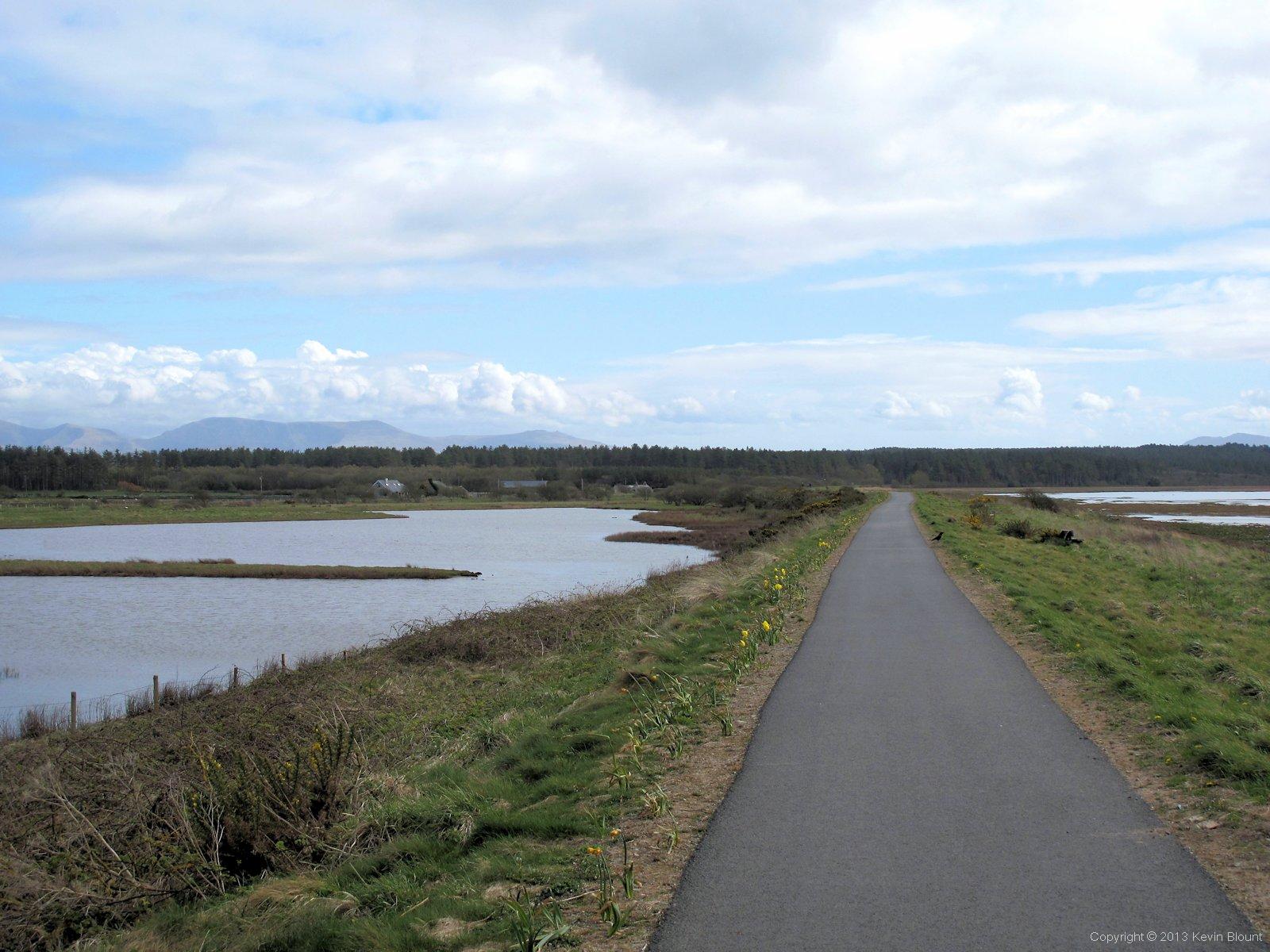
'The Cob' crosses the marsh to Newborough Forest
Malltraeth Sands is quite different to Aberffraw Sands, being nearly all level salt marsh and no dunes. The way across is via a causeway called The Cob. It’s a massive, flat, open space almost a mile wide so the contrast is striking at the far end where it enters the fringe of Newborough Forest. The coast path turns south here and sticks to the edge of the forest for some distance but as we’d more or less finished for the day we picked up the A4080 and headed southeast through the trees into Newborough village to find our campsite for the night.
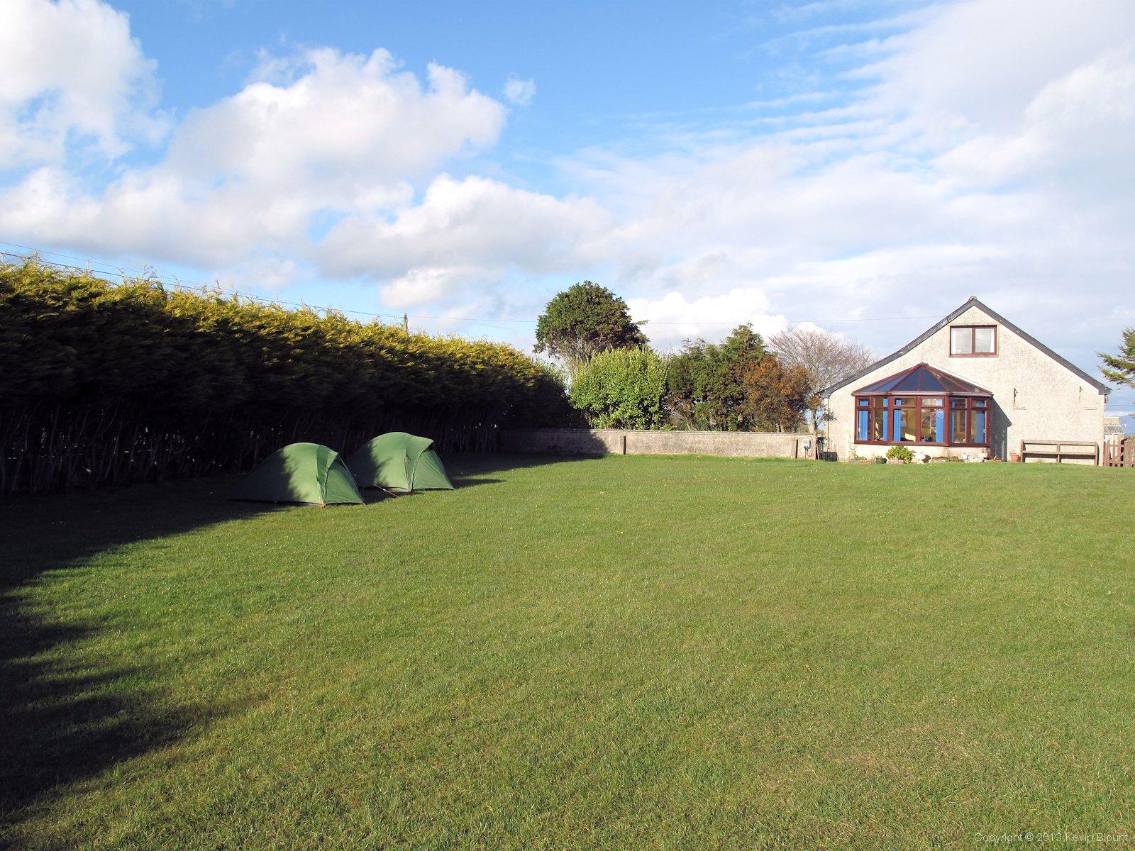
Awelfryn Caravan Park, small tent section - not exactly roughing it!
We hadn’t really planned where we’d be staying in Newborough as the site info online was a bit vague for this area so we’d decided to have a look round when we arrived. A mile or so later we were in the village centre and none the wiser so phoned a number from the accommodation guide and were given directions to Awelfryn Caravan Park, a smallish private site half a mile southwest of the village. It was a bit of a plod uphill but we received a warm welcome from the lady owner and were given excellent sheltered pitches right near the facilities. We got the tents up and used the showers then enquired about the pub down in the village as we couldn’t tell whether it was open for business or not when we passed earlier. Apparently it’s a casual sort of arrangement whereby they open ‘sometimes’ but there was a chippy across the road anyway so we could use that as a backup plan. When we got to the village we found that not only was the pub still dark and silent but the chip shop was closed on Mondays too! Fortunately there was a general store so we bought some food and drink to supplement two of the four dehydrated meals I’d been carrying ‘just in case’ and had quite a feast back at the tents.
Even with the shelter of the tall hedge and nearby buildings, once darkness fell it turned into a very cold night. I wouldn’t have been surprised if there had been a frost by morning, but actually it turned out to just be a really heavy dew on the grass and tents.
Day 2 | Introduction | Day 4