|
Anglesey Coastal Path |
Day 3 | Introduction | Day 5 |
The site owner was in her conservatory-cum-office by the time we were ready to leave so we went to settle up and stood chatting for a few minutes before heading off once more. She asked where our next stop would be and when we told her it was Brysiencyn she first assumed we’d be taking a reasonably direct route – around 7 miles by road. She looked like she thought us slightly mad when we said we were actually heading back northwest to the coast path where we’d left it the previous afternoon to take the long way round instead! That corner of the island is definitely one of the most special bits so we didn’t want to miss any of it out.
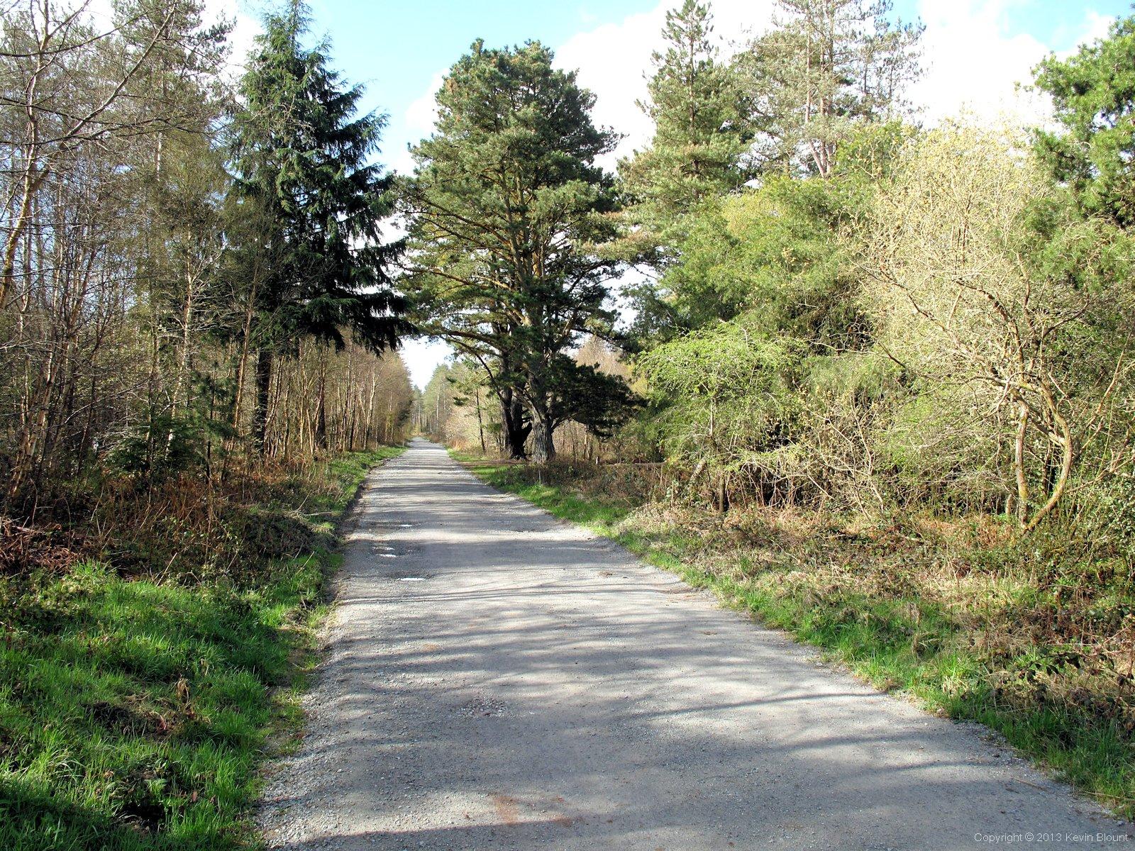
Newborough Forest, still a bit bare in late April but greening up nicely
It seemed a lot quicker and easier walking back downhill through the village than it did walking up the previous afternoon, and we were soon turning south at the top corner of the forest to head in to the trees on a long straight road. It was a beautiful spring morning with blue sky and birdsong and although there were still a lot of bare trees most were in bud and there was an overall green freshness about the forest.

There's a bit of everything here - forest, grassland, salt marsh, beach and dunes
Lovely though the trees were, when we came to the part where the path divided with a choice of continuing through the forest or following a parallel route along the beach we chose the latter to make the most of the wide views and fantastic weather. We emerged onto an area of rough grass with marshland between us and the sand but soon reached an obvious path through it.
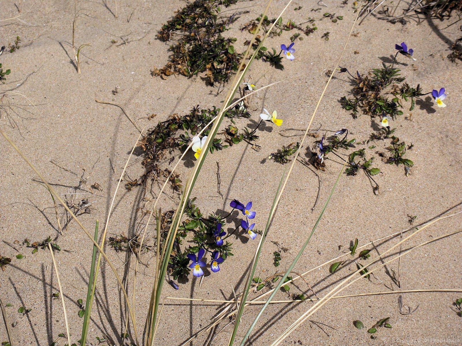
You don't often see pansies growing on a beach
We’d seen lots of wildflowers all through the wood and in among the grass but were surprised to find quite a lot actually growing directly in the sand on the fringes of the grass areas.
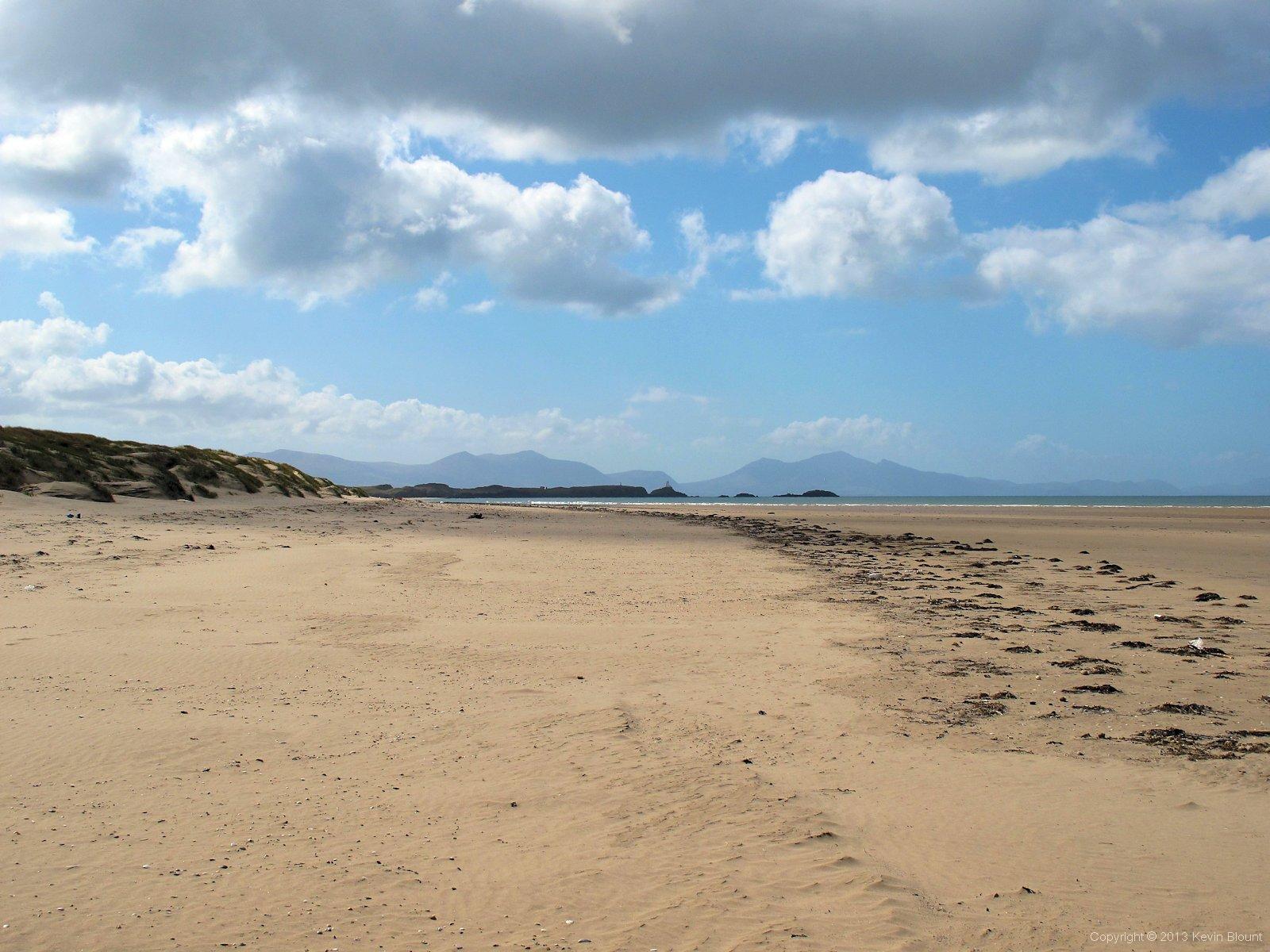
On the wide sands of Penrhos Beach looking south to Llanddwyn Island and Snowdonia beyond
The beaches down this corner of the island around Malltraeth and Llanddwyn Bays really are quite special; wide, flat, backed by dunes and surrounded by beautiful views of the sea, Newborough Forest and the mountains of Snowdonia.

More of the nicely styled gates and fences keep the ponies and sheep on the island
Llanddwyn Island is a tiny spit of land off the south west corner of Anglesey, about 3/4 mile long and barely 1/4 mile wide and joined to the mainland by a narrow causeway that only really gets covered by very high tides. Unimpressive though those few statistics are it’s actually a great place with lots to see and well worth a visit in its own right, not just as part of a through-walk. It’s dubbed the lovers’ island because of its association with St Dwynwen – the patron saint of lovers – who lived there as a hermit after falling out with Prince Maelon way back in the legendary past. The remains of her church are there along with a navigation beacon, a lighthouse you can walk right up to, a row of pilots’ cottages and a boathouse, two large crosses and an almost surreal, fairytale like ambience that is quite difficult to describe.
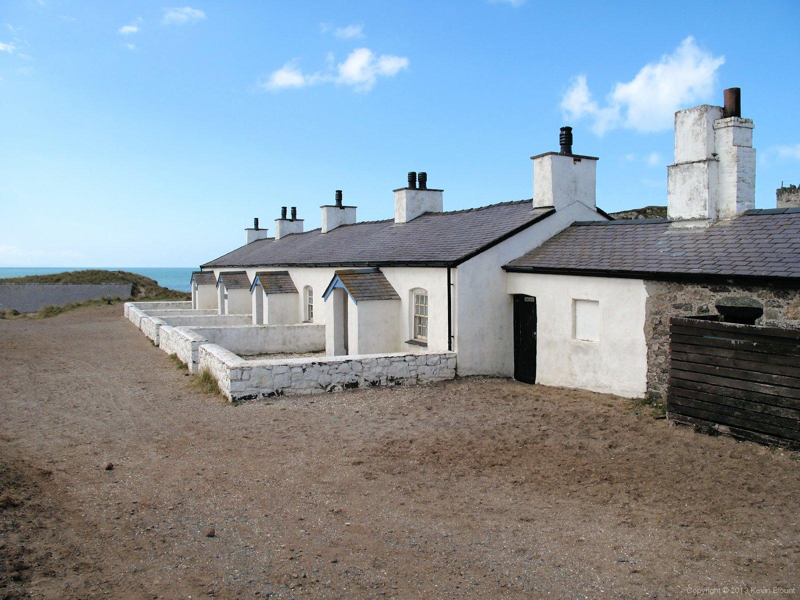
The pilots' cottages. Smart housing for men with an elite occupation
The pilots’ cottages now house an exhibition that’s only open during the summer season so it was closed when we were there. They were originally built for the families of the pilots employed to guide shipping through the dangerous waters of the Menai Strait. These men also acted as lighthouse keepers and manned the lifeboat – outside the row is a cannon that was used as a signal to summon the rest of the lifeboat crew from nearby Newborough village.
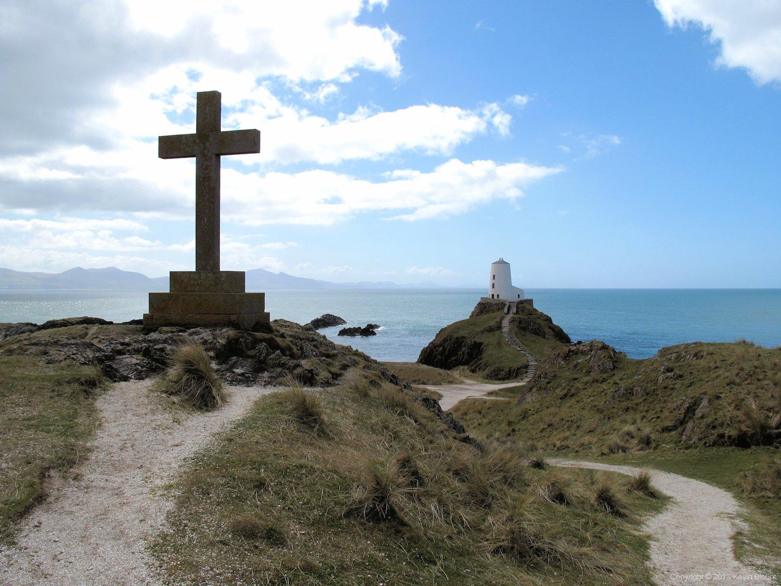
St Dwynwen's cross and the lighthouse
The limestone grit paths form an obvious circular tour and allow easy access to the best viewpoints without having to scramble up the grassy hills. We ate our breakfast bars while propped up on a grass bank looking out to sea between the lighthouse, the boathouse and the beacon – a stunning view even by Anglesey’s high standards.
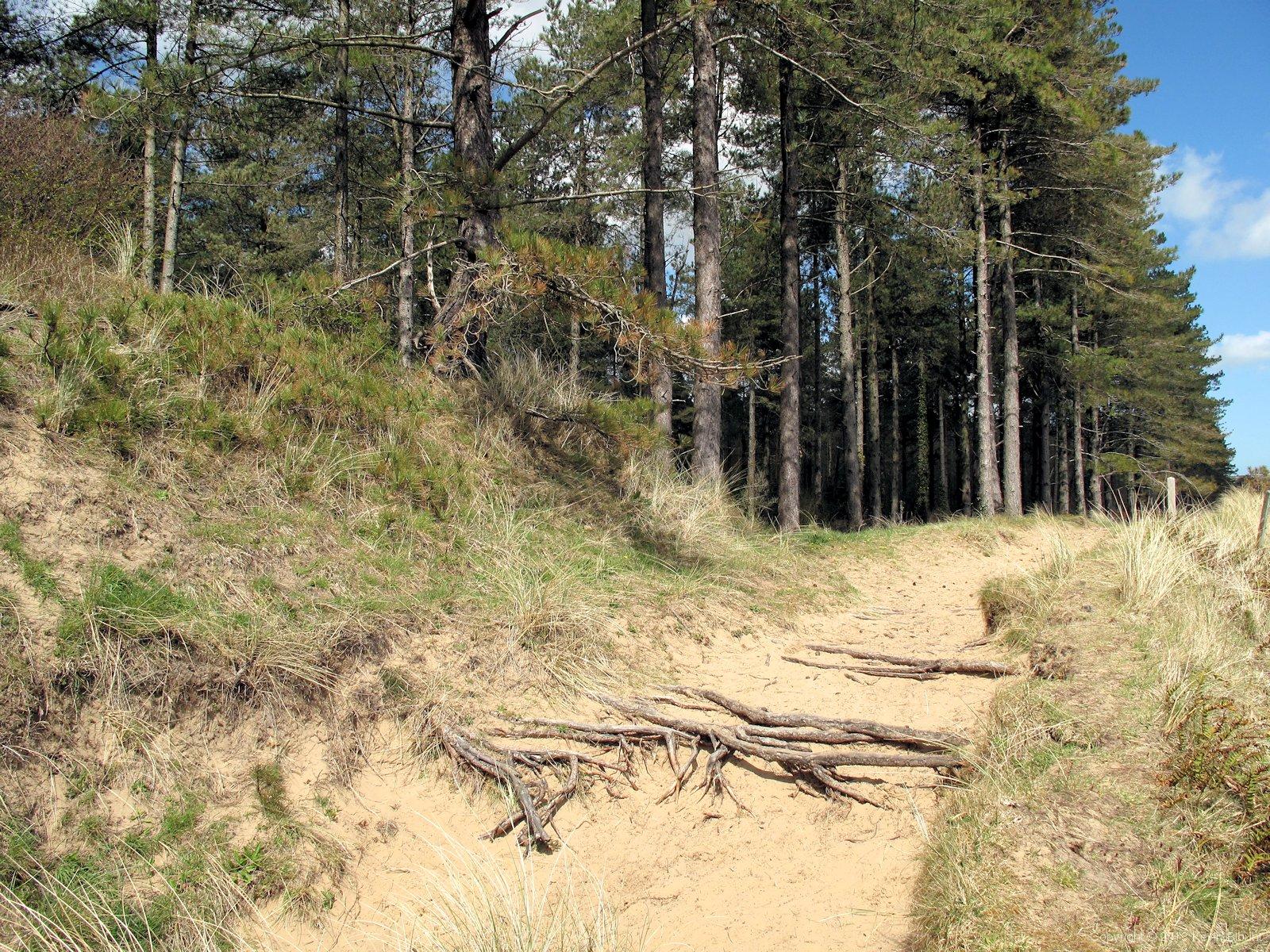
Sandy paths make a nice change but they're hard work to walk on!
We followed the path back off Llanddwyn through the edge of the forest to the recently expanded car park and after taking advantage of the facilities continued on a long sandy path along the edge of the trees across the back of the wide expanse of Newborough Warren, eventually arriving at the stepping stones across the River Braint.

Pretty substantial stepping stones but they are covered at high tide
It was a bit of a gamble, heading down to the stepping stones. We had to decide about a half mile before reaching them whether to take the high tide option along the road and across a bridge instead. There’s not much difference in the distance unless you go for the stones and find them submerged, in which case you have to retrace and then take the road route anyway. We actually had no idea what the tide was doing but took a chance and were lucky. It’s hard to imagine them underwater as they look as high as the surrounding ground, but then that showed signs of being recently wet too so I guess it all goes under.
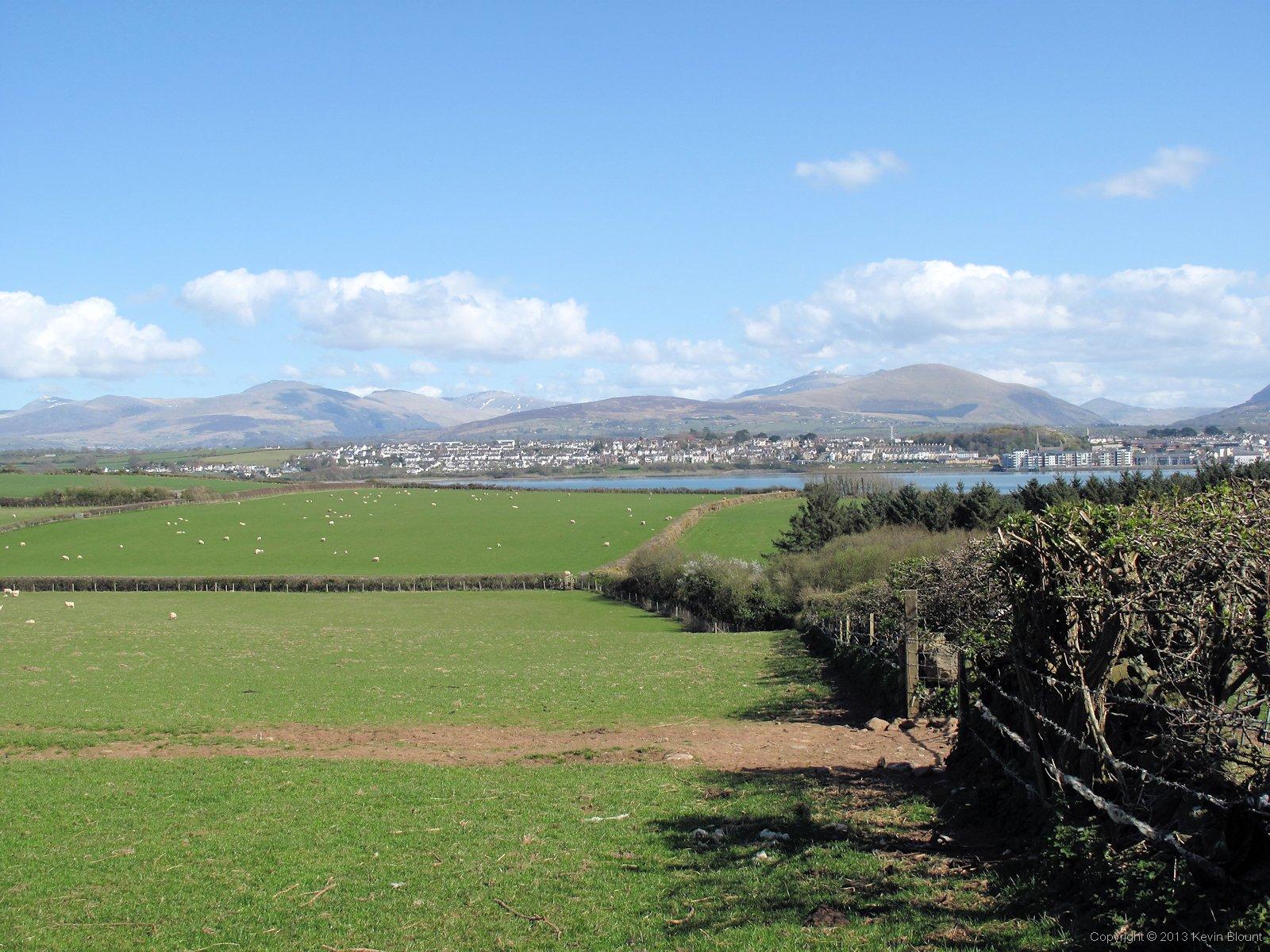
Gently sloping fields lead down to the Strait - the south side of the island feels much more sheltered than the rest
A couple of miles of zigzagging along field edge paths cut the corner back to the shore of the Strait, bringing us out just along from the Sea Zoo. We’d been looking for a suitable place to sit for our lunch but there was a complete lack of benches or even logs, rocks or low walls – obviously not a touristy bit! In the end we sat cross legged on the grass in the corner of field, hoping that the resident sheep didn’t know about sandwiches. We were ignored thankfully – further evidence that picnicking people must be fairly uncommon there.
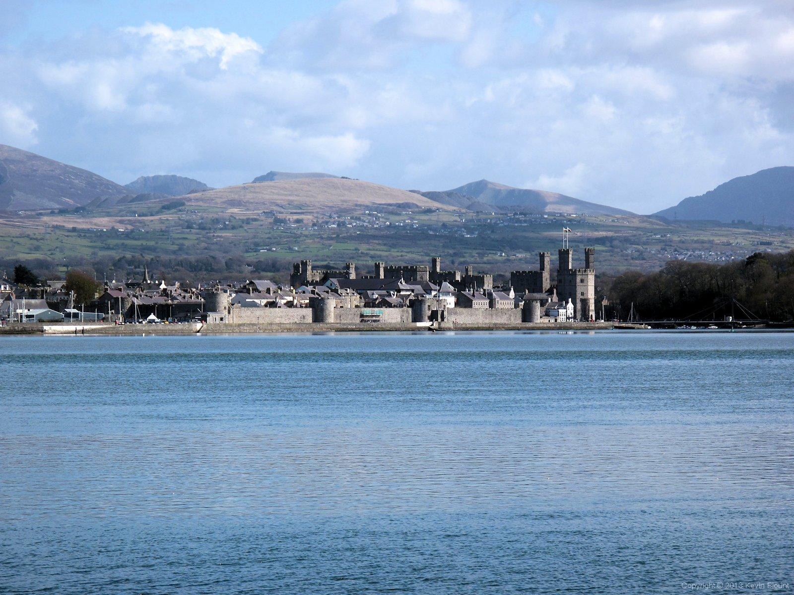
Caernarfon's only about a mile away across the water. A bit too far to paddle though.
Once back down on the coast it actually felt more like we were just looking across a wide river rather than being on a separate island. We had a clear view of Caernarfon Castle just across the water with the mountains of Snowdonia towering behind.

Much of the shore is like this along the Menai Straits. Not exactly sandy or even shingle beaches - more pebbles, rubble and boulders!
We plodded a short distance along the rocky foreshore before joining the end of the road that led us up a long slow hill into Brynsiencyn. We stayed at Fron campsite – a smart, well organised caravan site a mile or so off-route just out from the west end of the village. After pitching and getting showered and changed we walked in to Brynsiencyn itself and ate at Y Groeslon Hotel (can recommend – good food) and afterwards both called our other halves for a natter as we strolled back. Beware the variable phone signal in the village – it was mostly very strong but kept suddenly disappearing just for a few yards. My call got cut off three times before I finally gave up and finished by text!
We were pitched at the front of the campsite on a small lawn (most of the site was the other side behind the house and facilities buildings) and had a fine view of Snowdonia in the evening light. It was a quiet and comfortable night that stayed fairly warm thanks to some light cloud that drifted over as darkness fell. We just hoped the cloud didn’t mark the end of the good weather.
Day 3 | Introduction | Day 5